Thames Vale LCA
Description
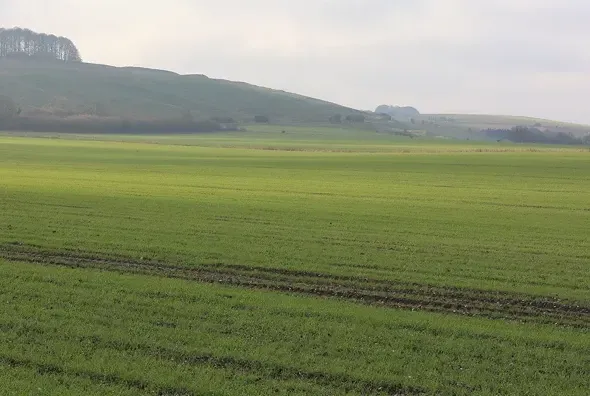
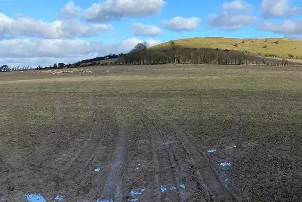
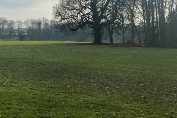
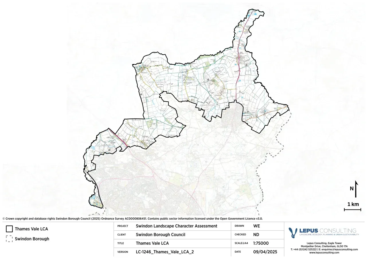
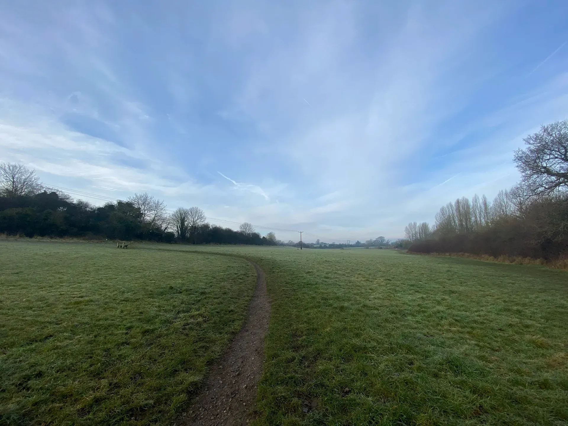
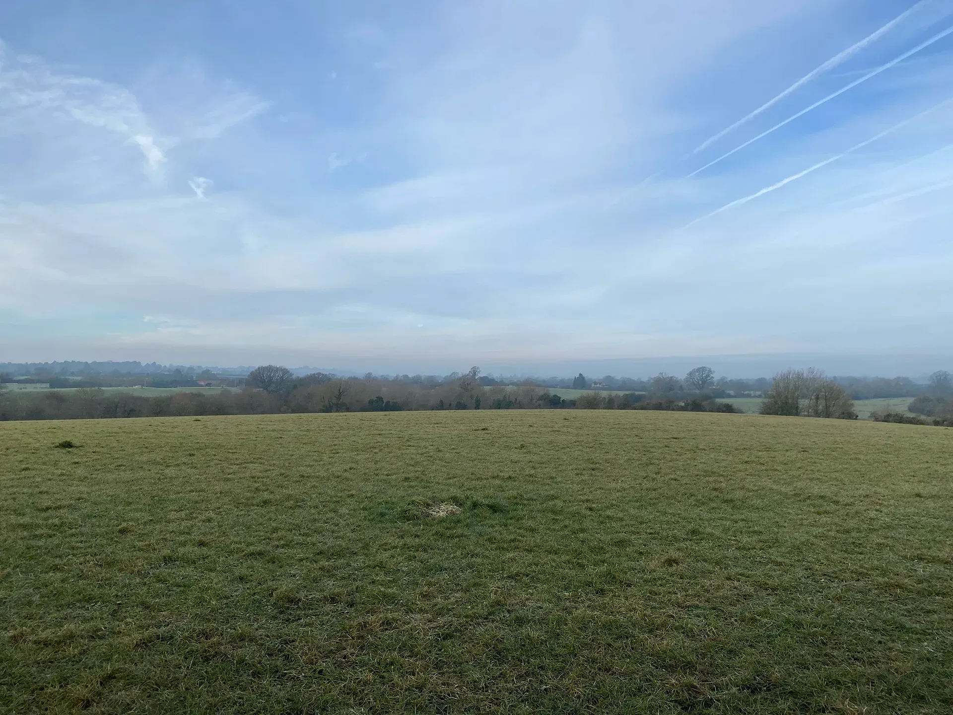
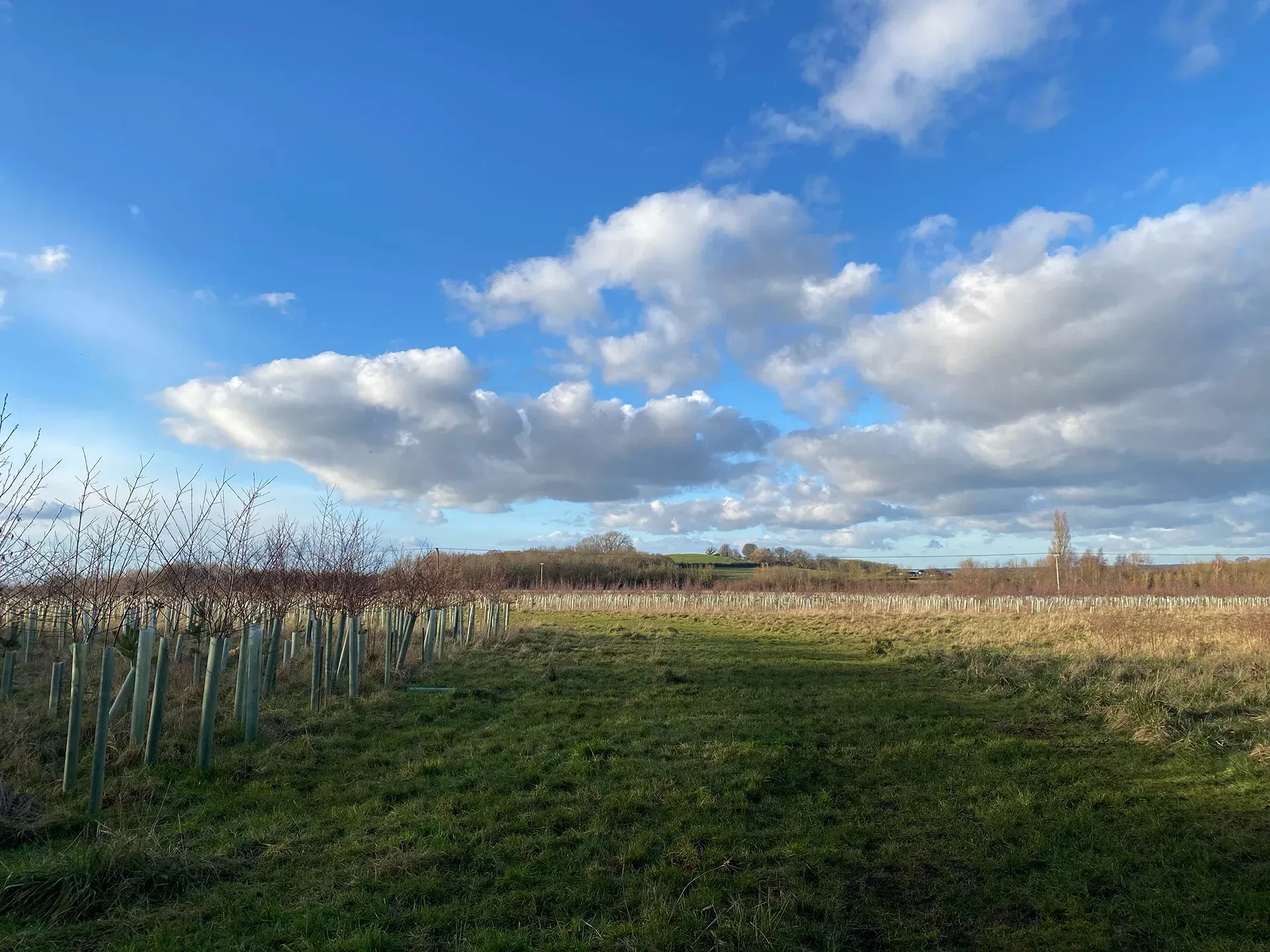
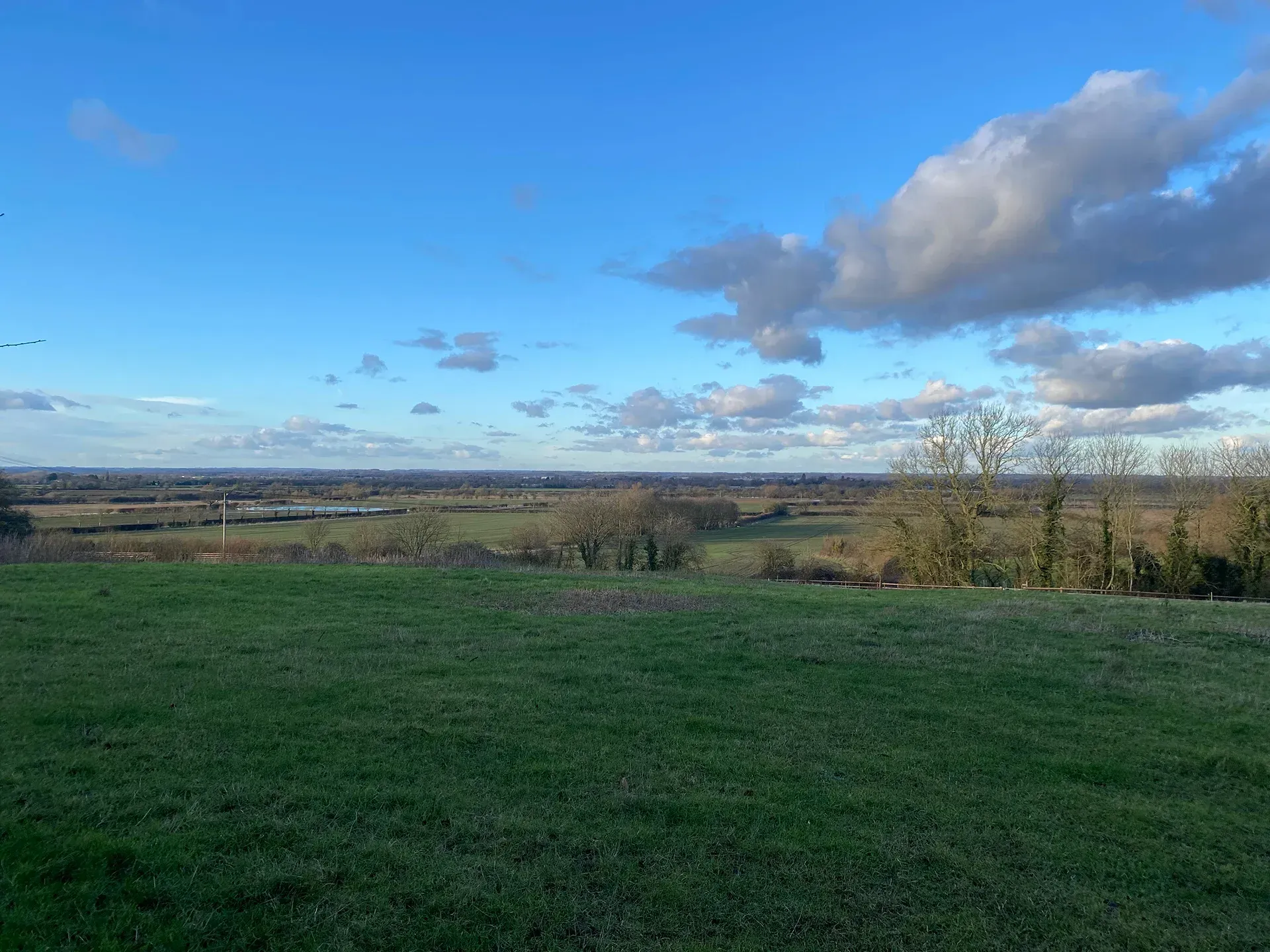
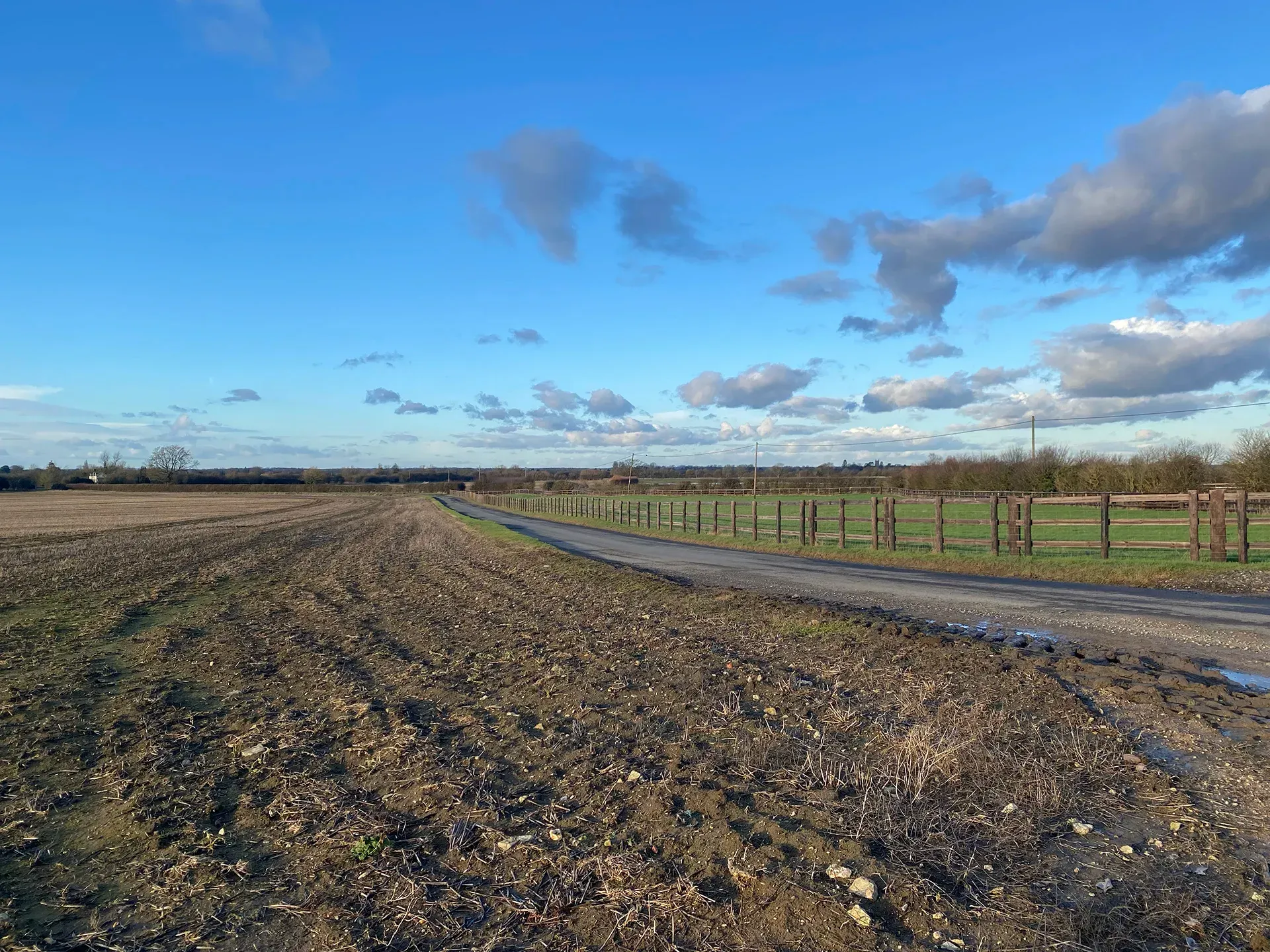
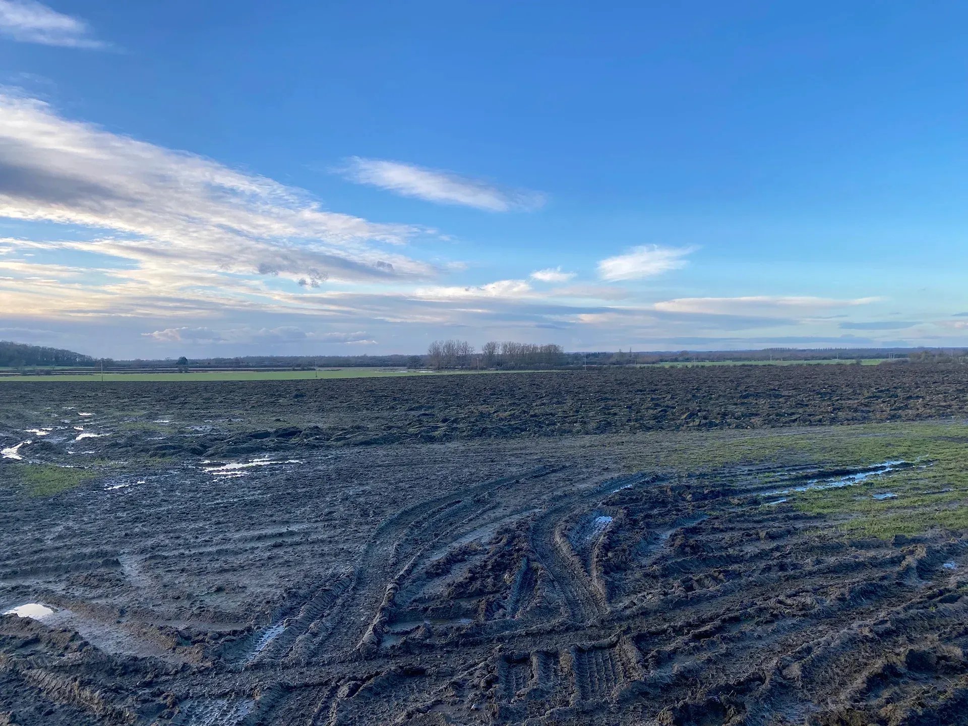
The Thames Vale LCA comprises the alluvial plain adjoining the River Thames in the north of the borough. Hydrology plays an important role in forming this landscape, with frequent ditches and willow and poplar trees present across the floodplain. In conjunction with the existing hedgerows, there are occasional blocks of tree planting, punctuating the landscape. Although development has taken place within this area, the landscape is largely open and is dominated by a series of small settlements with scattered, isolated groupings making up the remainder.
Gallery
Key characteristics
Key characteristics of the Thames Vale LCA are presented in below.
| Natural factors | |
|---|---|
| Geology | Oxford Clay with alluvial and gravel deposits relating to the River Thames, River Cole and River Ray and their floodplains. |
| Landform | Generally flat, low-lying large-scale valley (75m to 80m AOD) with occasional areas of higher ground. |
| Hydrology | The River Thames, River Cole and River Ray flow through the area, along with Bydemill Brook. Large areas of flood zone 3 are present and associated with the River Thames, River Cole, River Ray, Share Ditch and Bydemill Brook. |
| Soils | Soils are loamy and clayey. Mostly ALC grade 3 with areas of grade 2 and 4. |
| Land cover, flora & fauna | Few wooded areas punctuate the landscape on higher ground such as Crouch Hill. Poplar trees and pollarded willow trees are an important aspect of the River Thames floodplain. |
| Cultural & social factors | |
|---|---|
| Land use | Predominantly pastoral land use, with some arable areas. Large land-based solar farms at Inglesham, Little Crouch and west of Lus Hill. |
| Settlement | Few scattered small, nucleated villages on areas of higher ground. |
| Enclosure | Large scale fields with hedgerows and occasional trees or open drainage channels defining the field boundaries. |
| Time depth | Highworth circles (scheduled monuments) are located in this LCA. |
| Cultural associations | |
|---|---|
| Art, literature, descriptive writings, music, myth/legend/folklore, people, events and associations | There are recorded stories of a black dog haunting the area around Inglesham. There are many travel blogs written about the Cricklade to Lechlade section of the Thames Path, where a large proportion of this section runs through the Thames Vale. |
| Perceptual & aesthetic factors | |
|---|---|
| Memories and associations | Obtained via stakeholder engagement. |
| Perceptions | Tranquillity levels are generally quite high, particularly around Castle Eaton and Lus Hill. |
| Sounds | Noise levels are generally low across the area. Vehicular traffic can be heard near the A419 and A361. |
| Sight | Extensive views across to the Mid Vale Ridge and Highworth. Churches at Lechlade form important focal points in the landscape. |
Designations and policy
Key designations within the Thames Vale LCA:


Forces for change
Threats, pressures and current changes to Thames Vale LCA are outlined below.


Landscape guidelines
Landscape guidelines to plan, manage and protect distinctiveness of the Thames Vale LCA include:


Landscape Character Areas (LCAs)
Eight Landscape Character Areas (LCAs) have been identified within the Swindon Borough. This website provides a detailed overview of each LCA including a description, key characteristics, designations and policy, forces for change and landscape guidelines to plan, manage and protect distinctiveness.