Vale of White Horse LCA
Description
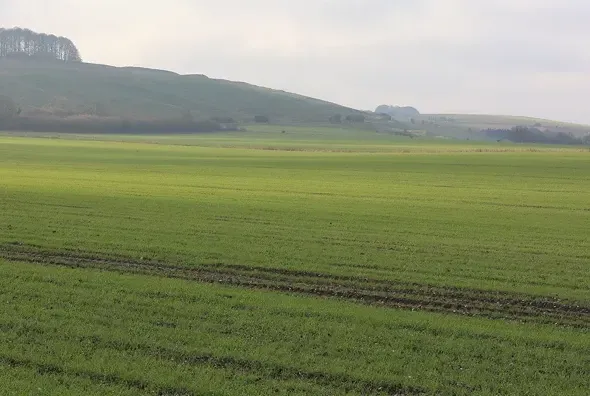
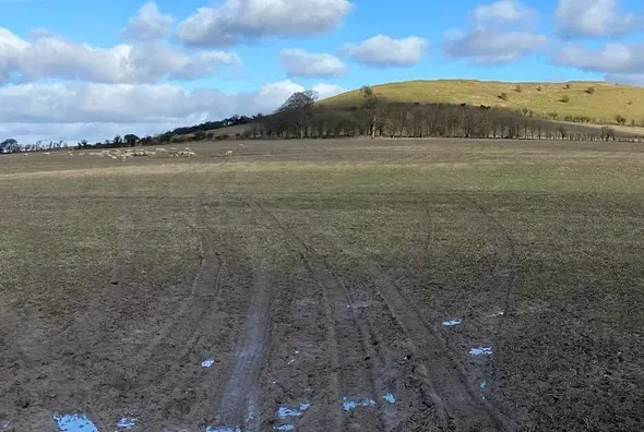
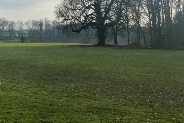
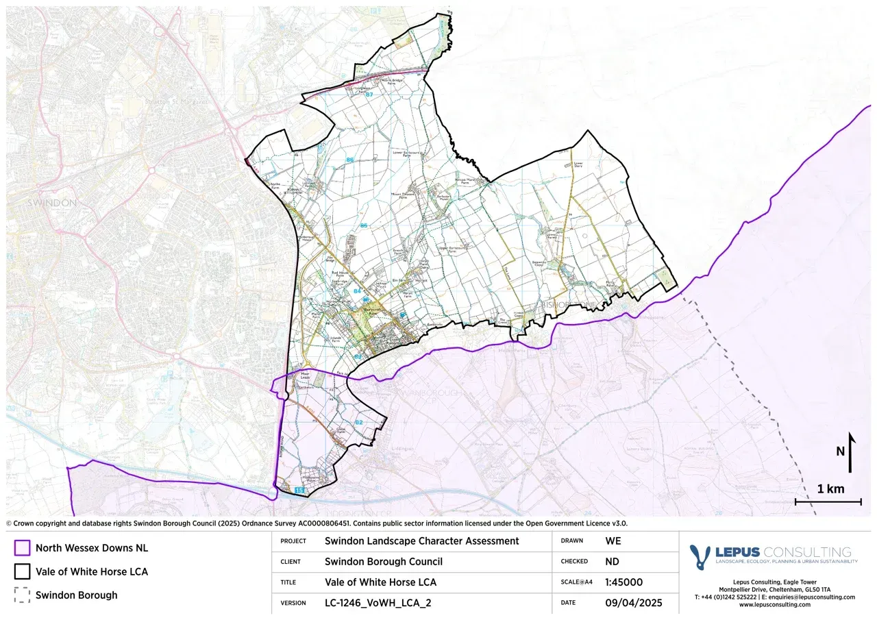
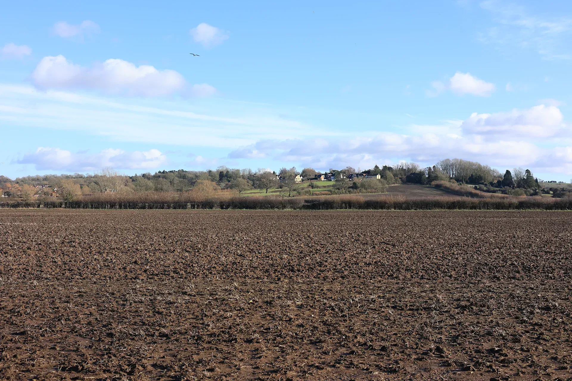
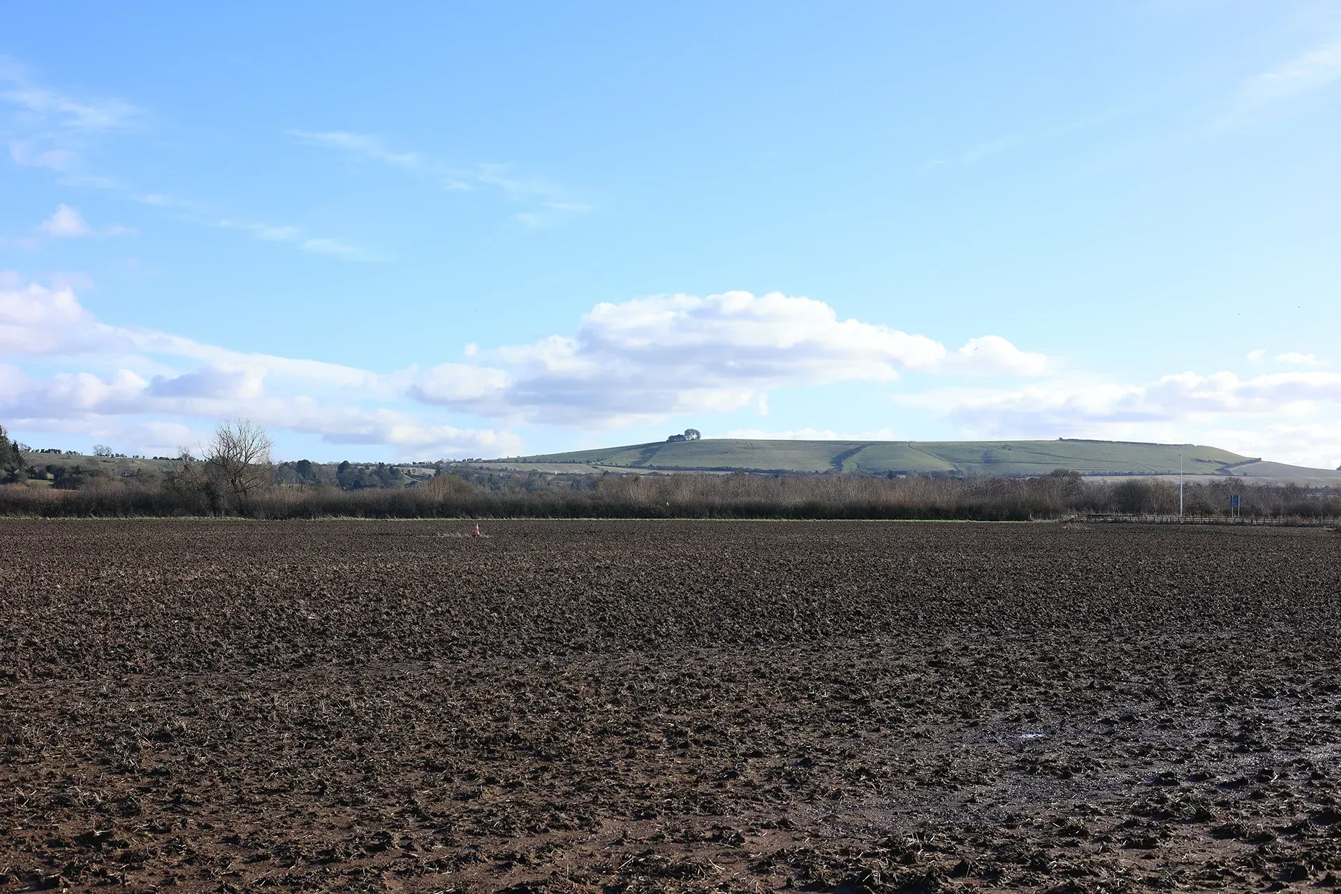
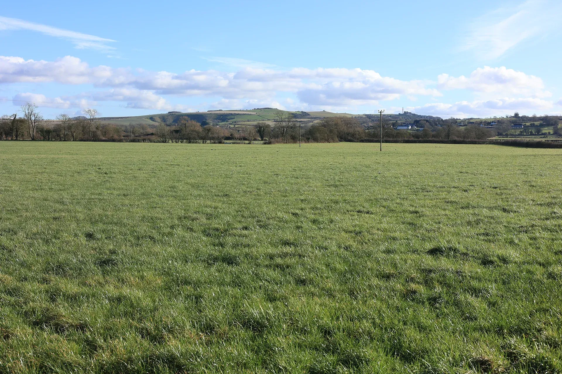
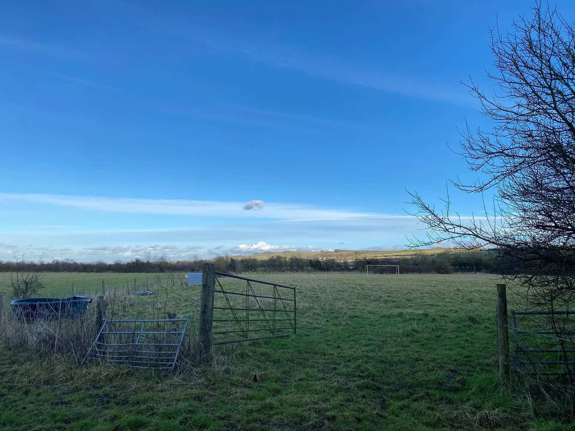
The Vale of White Horse LCA extends eastwards from Swindon towards Shrivenham and beyond. Settlements are generally small, giving the perception of a remote, open landscape distant from human activity. The relatively level terrain with minor undulations allow for far reaching views across the area, including towards the Midvale Ridge LCA and the Downs LCA. This area is increasingly influenced by new development on Swindon’s eastern edge. The south-western corner of the LCA, comprising the land to the south of Pack Hill, lies within the North Wessex Downs National Landscape.
Gallery
Key characteristics
Key characteristics of the Vale of White Horse LCA are presented below.
| Natural factors | |
|---|---|
| Geology | The LCA comprises of Gault Clay to the north and Kimmeridge Clay to the south, with a narrow band of Lower Greensand dividing the two clays. |
| Landform | Broad, flat, low-lying valley. |
| Hydrology | The River Cole, Dorcan Stream and other small streams cross through the area. Several chalk streams flow northwards across the vale from the scarp. Areas of flood zone 3 are present across the area and associated with watercourses including the River Cole. |
| Soils | Soils are loamy and clayey. ALC grade 3 and 4 with smaller areas of grade 2. |
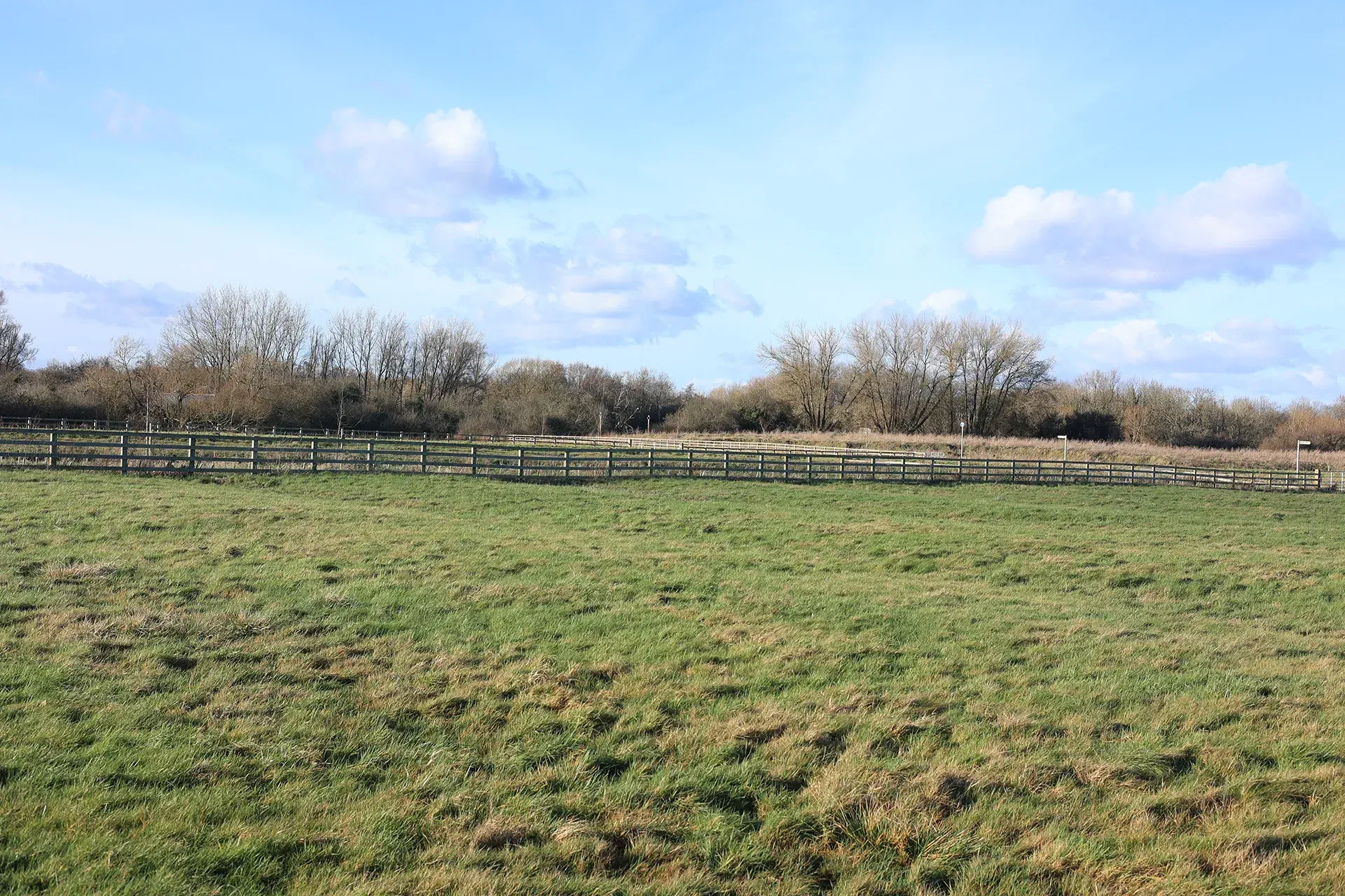
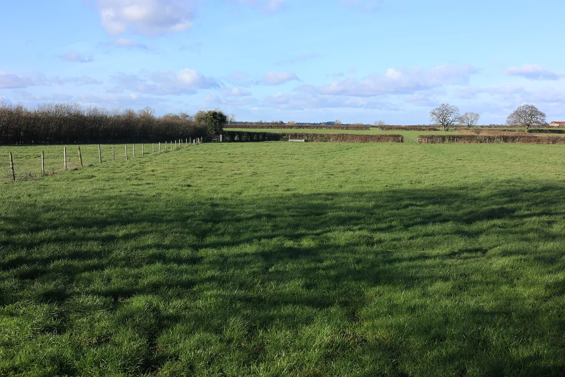
| Land cover, flora & fauna | Fields are bounded by hedgerows with scattered standard trees, with very few wooded areas. |
| Cultural & social factors | |
|---|---|
| Land use | Land use is predominantly agricultural with a patchwork of arable and pastoral fields. |
| Settlement | Farms are scattered across the area. |
| Enclosure | Large fields with a strong north to south linear pattern following the Parish boundaries. |
| Time depth | The disused Wiltshire and Berkshire canal runs along the northern boundary. A deserted Medieval village is located adjacent to Wanborough, with Roman settlement and roads at Lotmead. |
| Cultural associations | |
|---|---|
| Art, literature, descriptive writings, music, myth/legend/folklore, people, events and associations | Alfred Williams would sketch views from the North Wessex Downs looking on to Vale of White Horse. He is also known for his poetry. ‘Dobbin Day’ is a unique celebration involving bread which takes place annually in Wanborough at St Andrews Church, a tradition dating back to 1745 when a bursary was provided to the parish and interest was forever required to provide bread to the poor. ‘Dobbin Day field’ is located in the Marsh which provides for the loaves of bread. |
| Perceptual & aesthetic factors | |
|---|---|
| Memories and associations | Obtained via stakeholder engagement. |
| Perceptions | Tranquillity levels are higher to the east, away from the A419 and Swindon urban area. |
| Sounds | Noise levels are generally low across the area. Noise pollution increases with proximity to the A420 to the north, the A419 to the west and the M4 motorway to the south. |
| Sight | Extensive views towards the North Wessex Downs and Mid Vale Ridge. Views towards commercial buildings on the outskirts of Swindon are a visual detractor. |
Designations and policy
Key designations within the Vale of White Horse LCA:


- Historic England (1997) Hall Place. Available at: https://historicengland.org.uk/listing/the-list/list-entry/1016325 [Accessed: 03/01/25]
- Historic England. Site of Roman town, W of Wanborough House. Available at: https://historicengland.org.uk/listing/the-list/list-entry/1004684 [Accessed: 03/01/25]
Forces for change
Threats, pressures and current changes to Vale of White Horse LCA are outlined in below.


Landscape guidelines
Landscape guidelines to plan, manage and protect distinctiveness of the Vale of White Horse LCA include:


Landscape Character Areas (LCAs)
Eight Landscape Character Areas (LCAs) have been identified within the Swindon Borough. This website provides a detailed overview of each LCA including a description, key characteristics, designations and policy, forces for change and landscape guidelines to plan, manage and protect distinctiveness.