Downs Plains LCA
Description
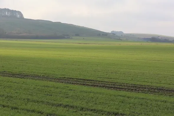
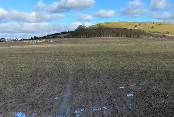
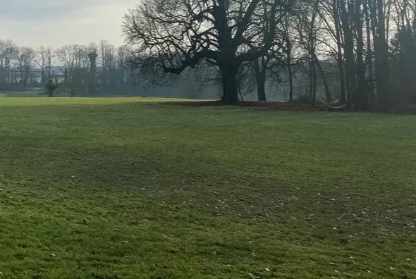
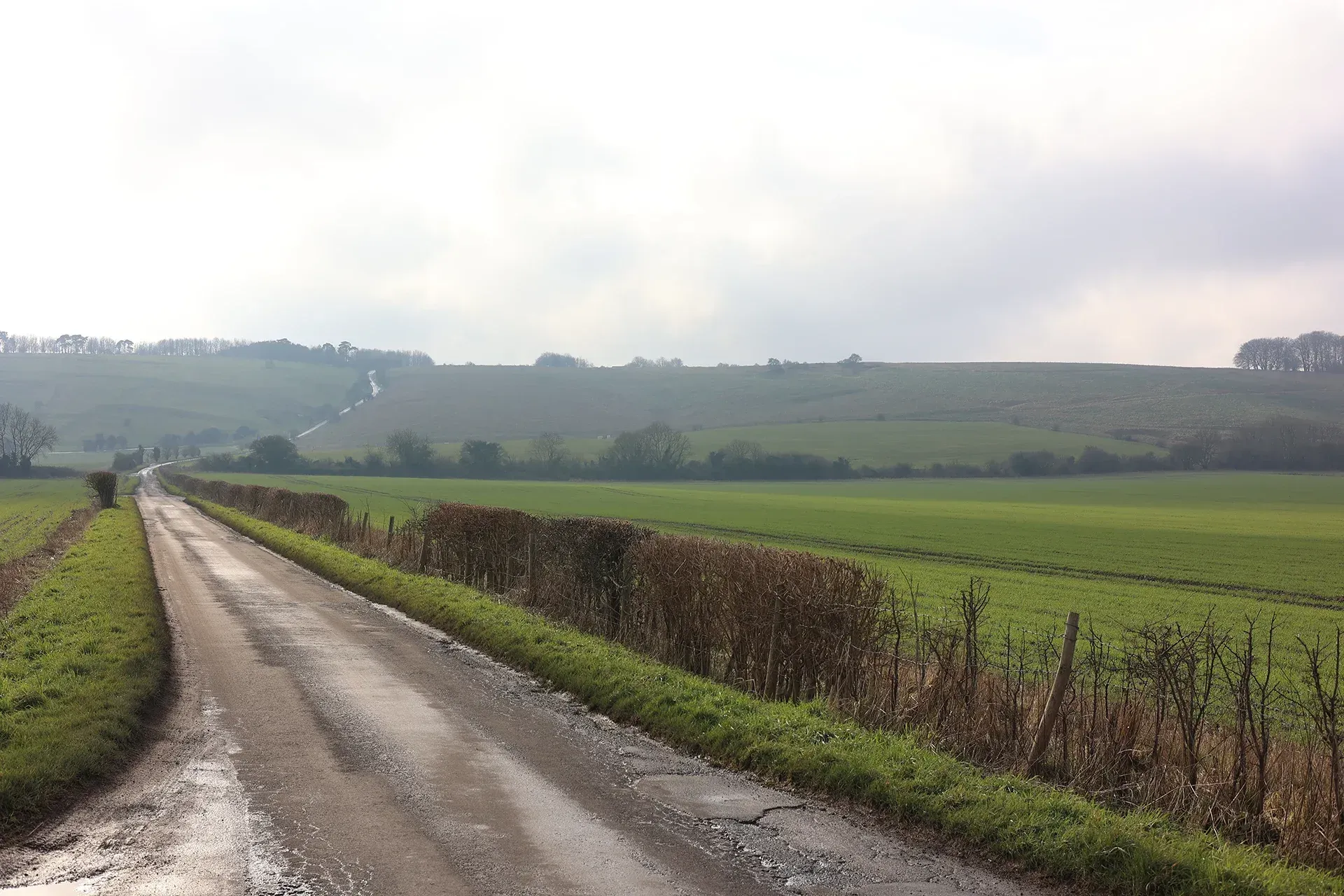
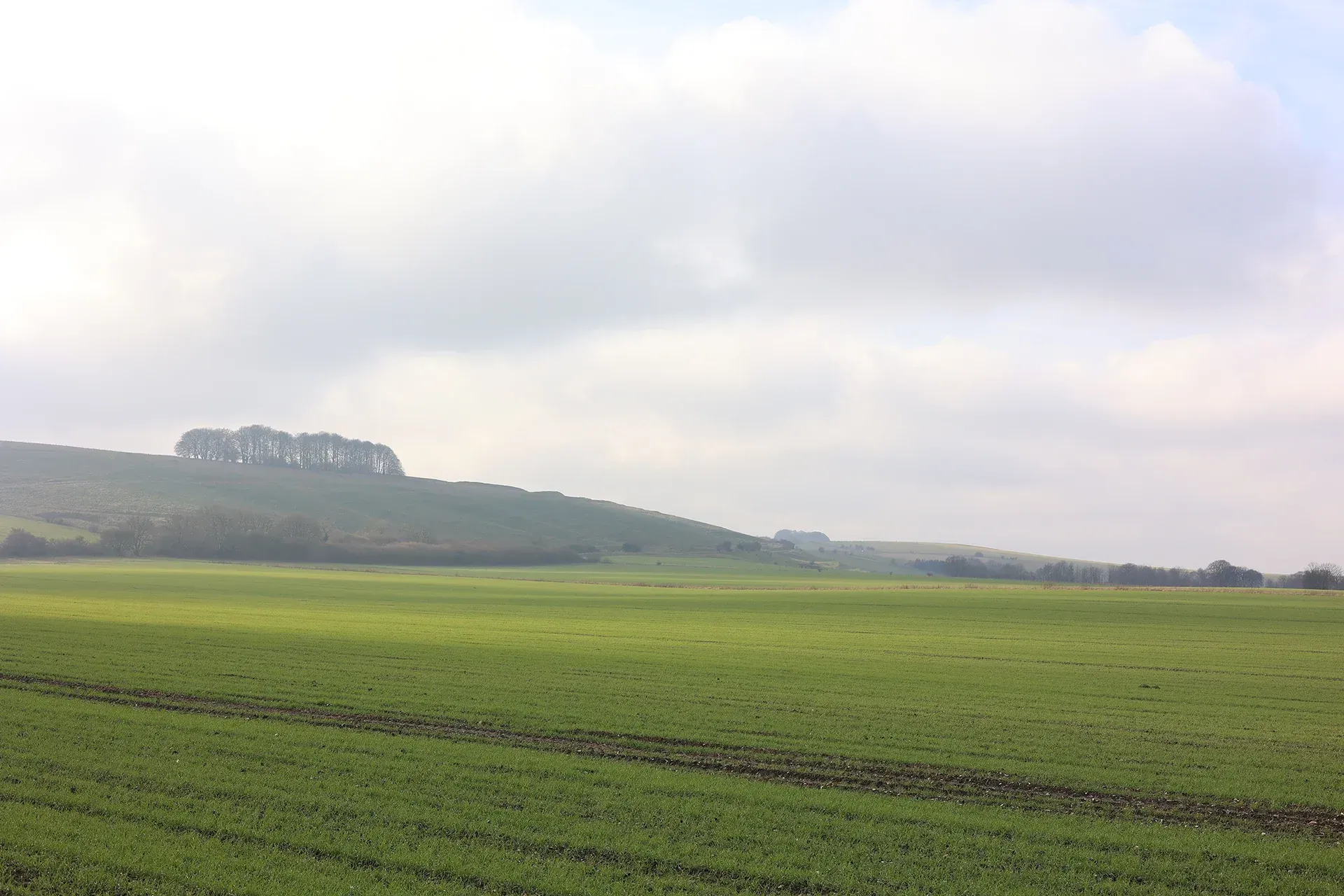
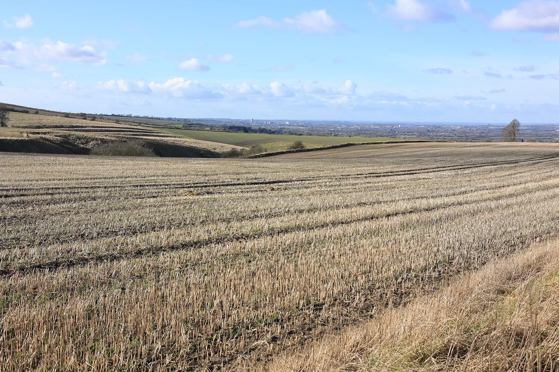
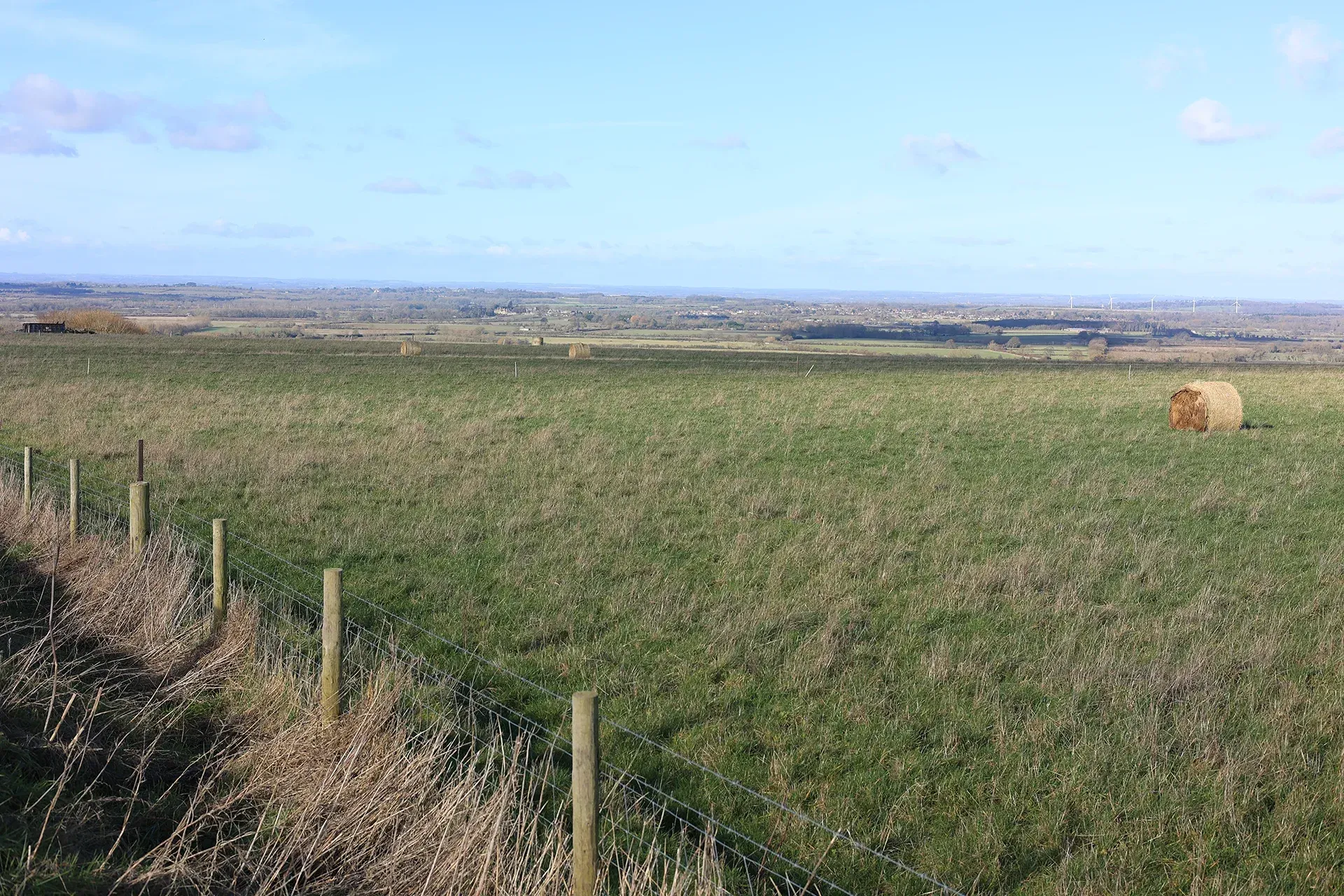
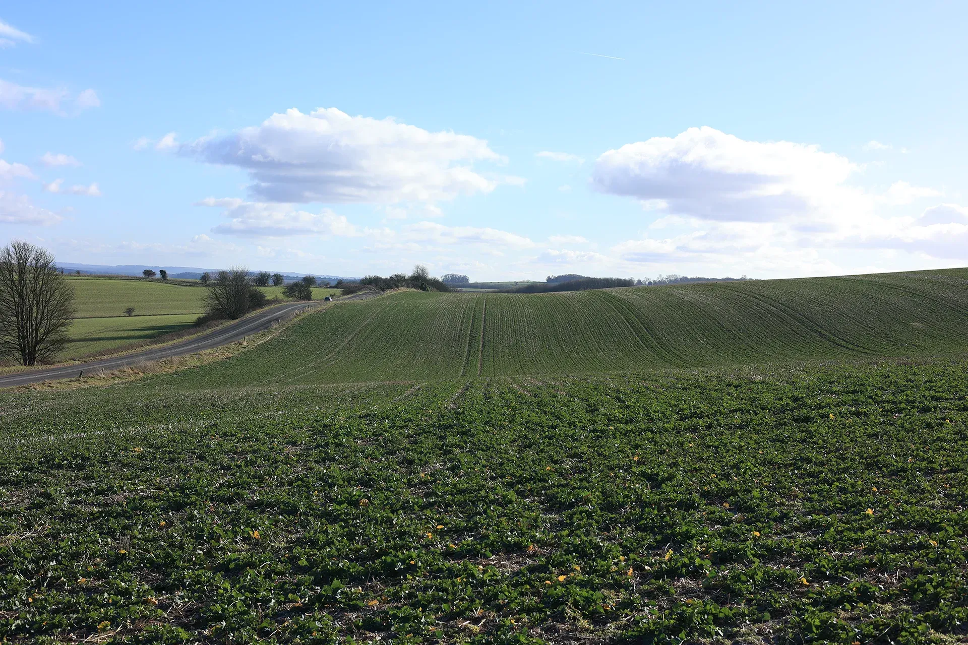
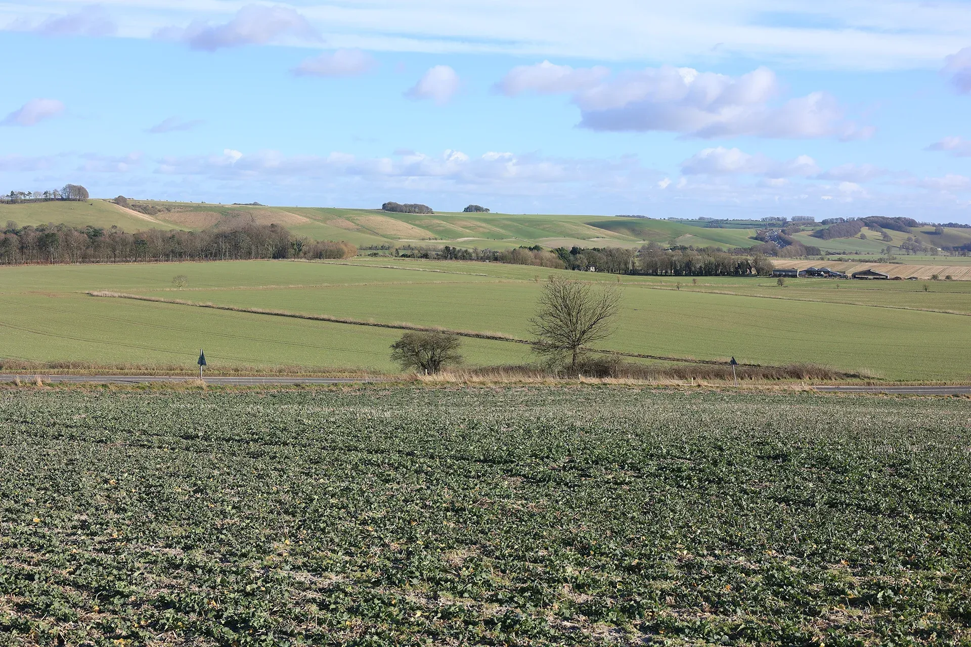
The Downs Plains LCA constitutes an important stepping stone between the High Downs and the low-lying Vales. The LCA is characterised by an open landscape with large field patterns and isolated, scattered forms of development. There are historic settlements including Chiseldon village. There is a greater concentration of planting, focused on hedgerows, in contrast to the clumps of trees prevalent in the High Downs. The proximity and high visibility of this area from the High Downs ensures that any development could potentially be highly intrusive and should be considered accordingly. The Downs Plains LCA lies within the North Wessex Downs National Landscape.
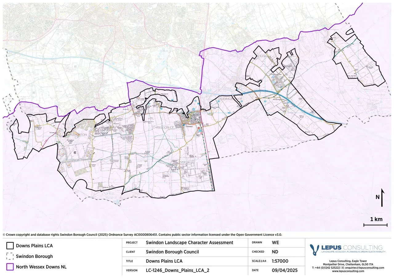
Gallery
Key characteristics
Key characteristics of the Downs Plains LCA are outlined below.
| Natural factors | |
|---|---|
| Geology | Upper levels of Lower Chalk. |
| Landform | High plain (approximately 170-180m AOD) gently falling from north to south and of varying width, lying between the Lower and Middle Chalk escarpments. |
| Hydrology | A few minor watercourses flow southwards towards the River Og. An area of flood zone 3 is present and associated with a watercourse flowing between Wroughton Airfield and Draycot Foliat. |
| Soils | Soils are loamy and clayey. The ALC is mostly grade 2 with areas of grades 3 and 4. An area of ALC grade 1 is near Burderop Wood. |
| Land cover, flora & fauna | Land cover predominantly comprises large arable fields. Woodland and hedgerow cover is minimal. |
| Cultural & social factors | |
|---|---|
| Land use | Land use across the area is predominantly agricultural with large, extensive arable fields. Equestrian establishments are found across the area. A large solar farm is present at Wroughton Airfield. |
| Settlement | Dispersed farms and agricultural buildings are scatted across the area. In the west, settlements generally relate to military developments associated with Wroughton Airfield. The largest settlement in the area is the village of Chiseldon. |
| Enclosure | Large, open rectilinear fields, the product of parliamentary enclosure with more recent boundary removal. Fields defined by post and wire fencing with occasional hedgerows. |
| Time depth | Roman roads run north-south and the Ridgeway National Trail runs east-west. The disused Wroughton Airfield from World War II is located within the LCA. Parish boundaries form narrow bands running north-south. |
| Cultural associations | |
|---|---|
| Art, literature, descriptive writings, music, myth/legend/folklore, people, events and associations | Chiseldon Local History Group was formed in the 1980’s to record and preserve objects and information related to the Parish of Chiseldon. The largest group of Iron Age cauldrons ever discovered in Europe were unearthed in a field south-west of Chiseldon. American Artist and Journalist Kate Tyron visited Burderop Park in 1910 and created numerous paintings from around the estate and wrote about it in her diary. |
| Perceptual & aesthetic factors | |
|---|---|
| Memories and associations | Obtained via stakeholder engagement. |
| Perceptions | Open, windswept landscape. Largely undeveloped and tranquillity levels are high. |
| Sounds | Sound levels are generally low across the area due to the limited number of modern roads. The M4 runs east-west around Foxhill. |
| Sight | Sweeping views across the open landscape towards the High Downs, Iron Age Hill forts and tree clumps. |
Designations and policy
Key designations within the Downs Plains LCA:


Forces for change
Threats, pressures and current changes to Downs Plains LCA are outlined below:


Landscape guidelines
Landscape guidelines to plan, manage and protect the distinctiveness of the Downs Plains LCA include:


Landscape Character Areas (LCAs)
Eight Landscape Character Areas (LCAs) have been identified within the Swindon Borough. This website provides a detailed overview of each LCA including a description, key characteristics, designations and policy, forces for change and landscape guidelines to plan, manage and protect distinctiveness.