Mid Vale Ridge LCA
Description
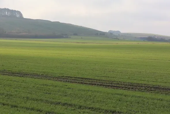
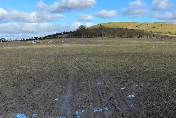
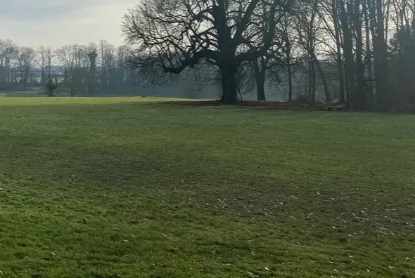
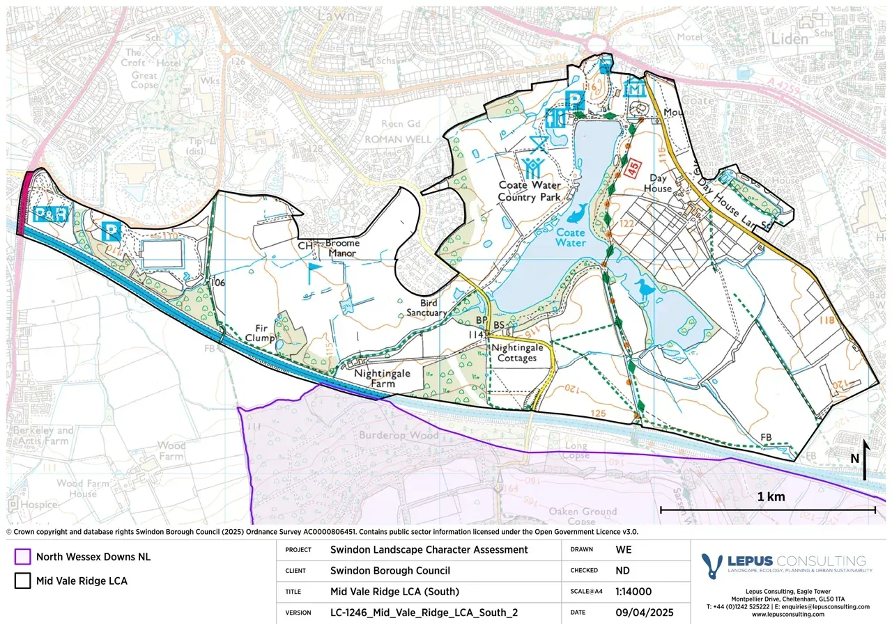
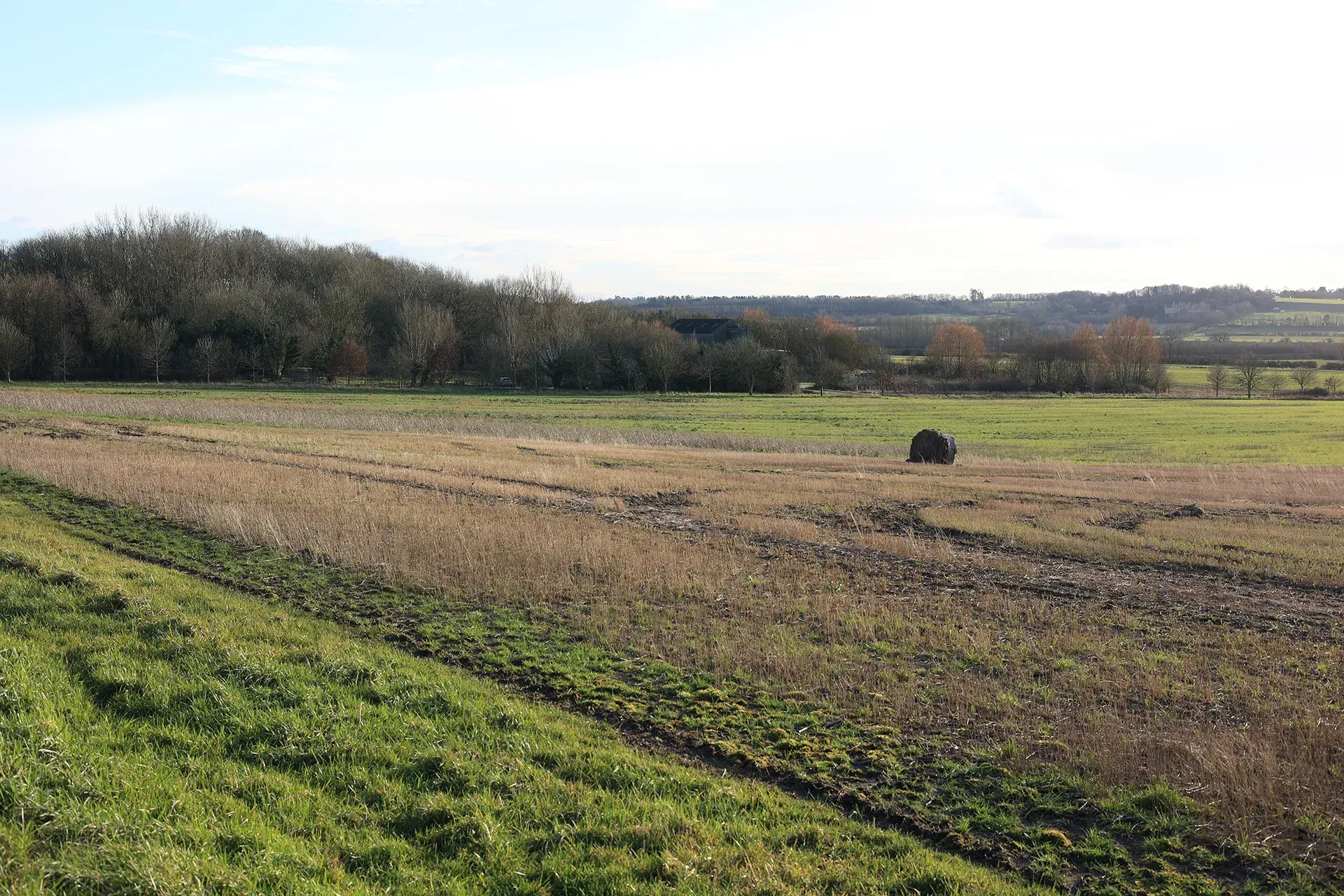
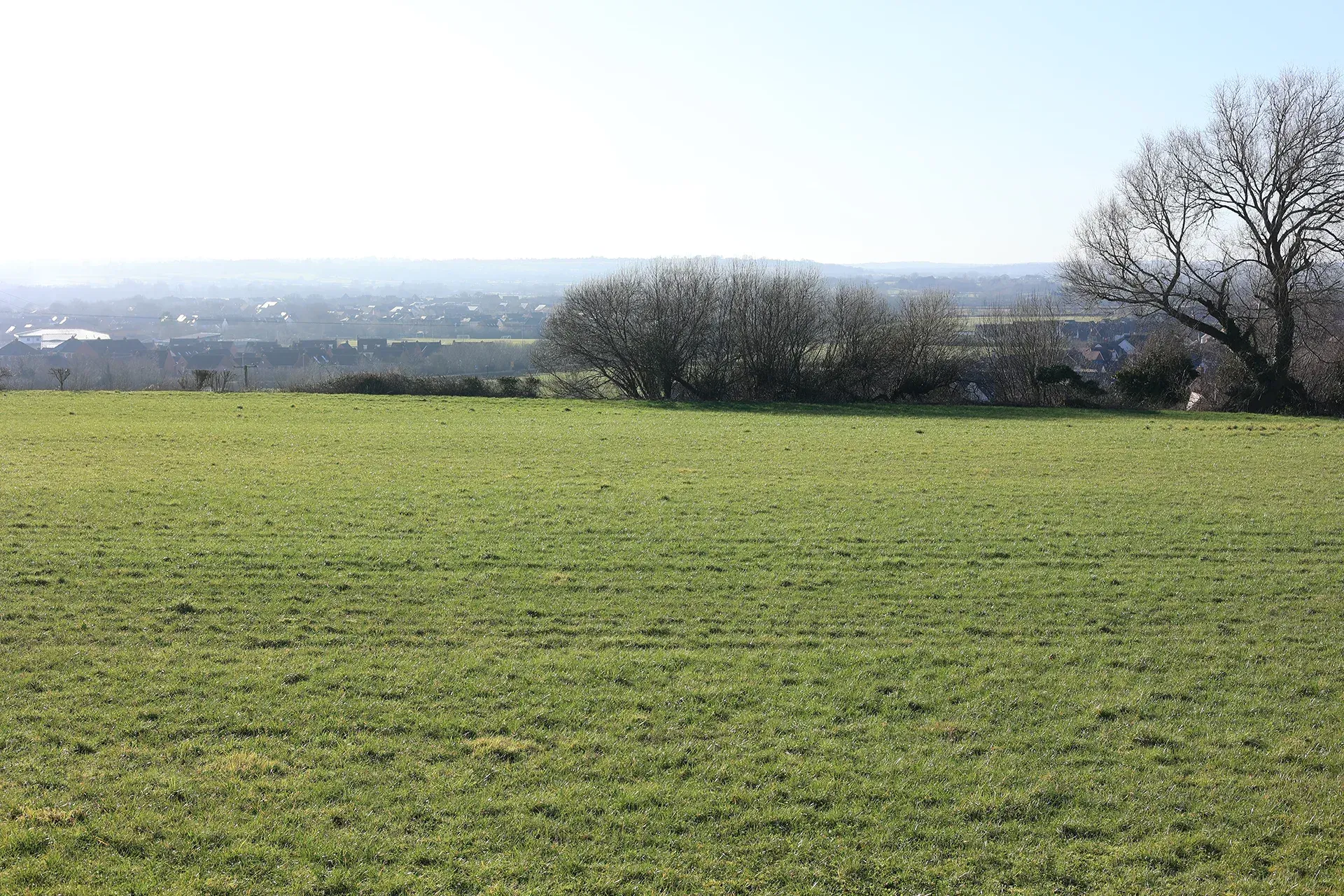
The Mid Vale Ridge LCA encompasses a low-lying, irregular outcrop of limestone. This LCA is characterised by three distinct areas, two to the north-east and one to the south of Swindon. The southern Mid Vale Ridge area comprises the area of land to the south of Swindon that encompasses Coate Water and the open land to the west of Coate Water and is bounded by the M4 motorway, the eastern edge of Coate Water and Swindon’s settlement boundary. The other Mid Vale Ridge Area contains the hilltop settlements of Blunsdon, Hannington and Highworth, which run along the Corallian Ridge. Included within the Corallian Ridge are the small valley settlements of Stanton Fitzwarren, Sevenhampton and South Marston. Views over the surrounding lower clay vales are visible from the Mid Vale Ridge, particularly northwards over the Thames Vale.
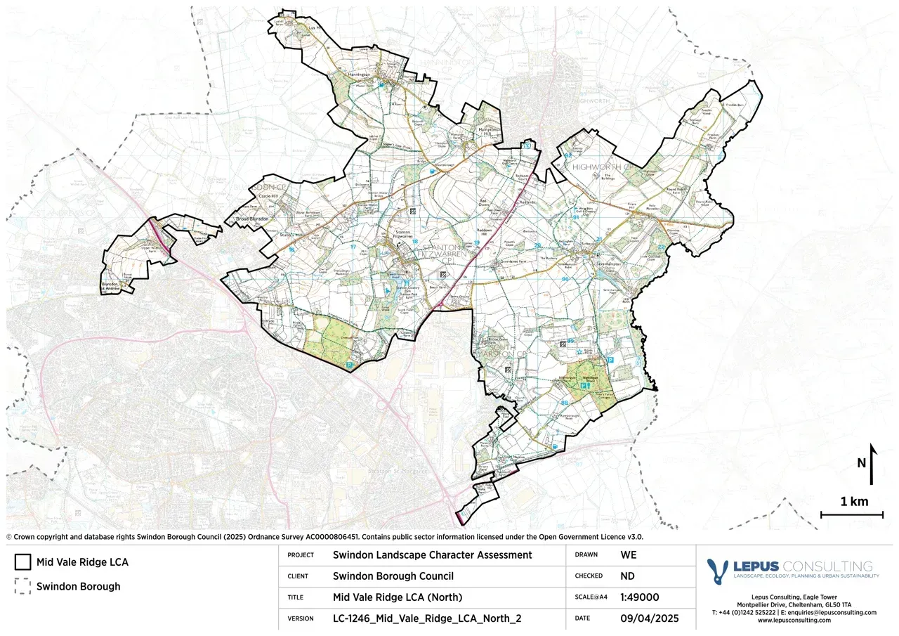
Gallery
Key characteristics
Key characteristics of the Mid Vale Ridge LCA are presented below.
| Natural factors | |
|---|---|
| Geology | Main east west ridge of Corallian Limestone with isolated areas of Oxford and Kimmeridge Clays. Lower Greensand and Kimmeridge Clay located in the Coate area. |
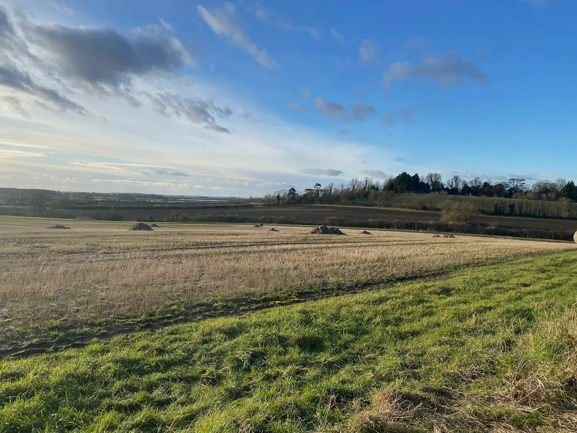
| Landform | Rolling landform of valleys, ridge, hill and plateau tops (90m to 140m AOD). Ridge is dissected by the north-south valleys of the Rivers Ray and Cole. |
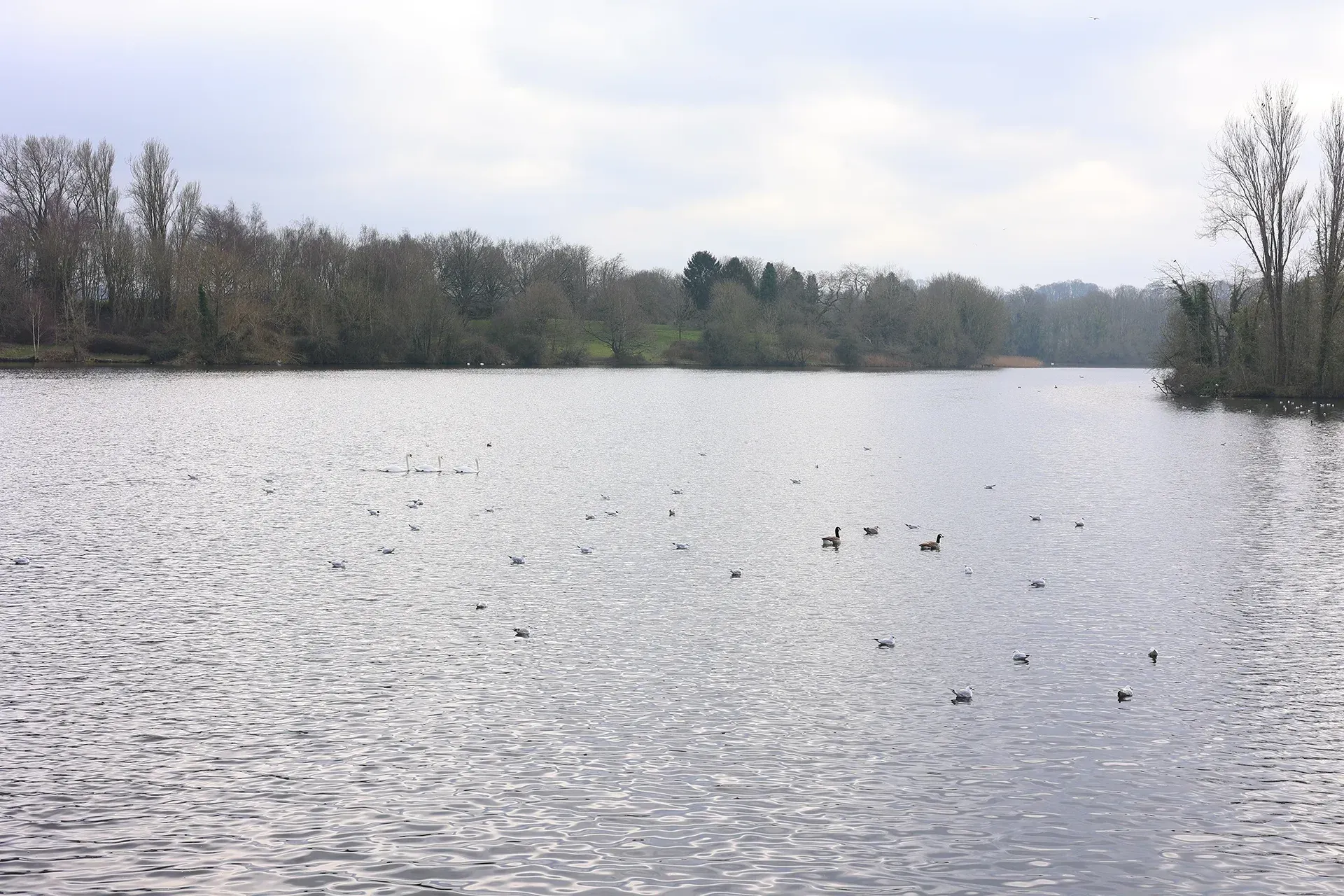
| Hydrology | The River Ray and Cole run north-south through the area, with numerous tributaries draining the main valleys. Important lakes are situated at Stanton Fitzwarren, Sevenhampton and Coate Water. Areas of flood zone 3 are present and associated with the River Cole, Bydemill Brook and at Coate Water Country Park. |
| Soils | Soils are loamy and clayey. ALC is mostly grade 3 with areas of 2 and 4. An area of ALC grade 1 is located to the east of Coate Water Country Park. |
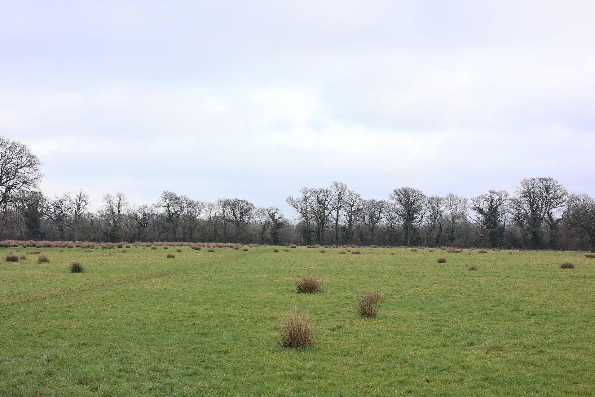
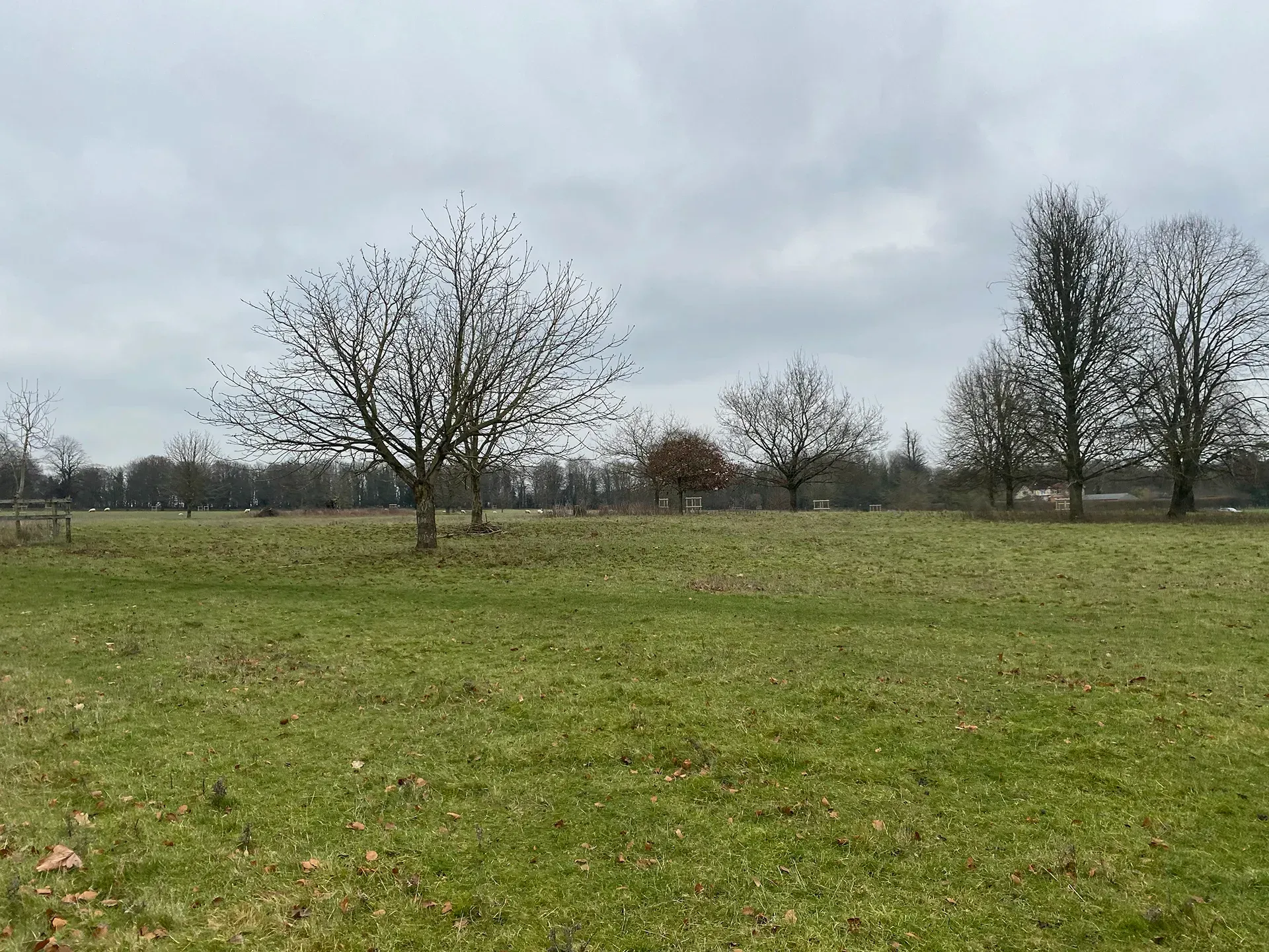
| Land cover, flora & fauna | Land cover is predominantly arable and pasture, interspersed with woodlands, including Stanton Great Wood. Hedgerows with trees connect wooded areas. |
| Cultural & social factors | |
|---|---|
| Land use | Predominantly agricultural with a mixed arable and pastoral landscape, cereals being the most important crop. Land-based solar farms and industrial developments are present, notably near South Marston. |
| Settlement | A settled landscape with a number of large villages, several smaller settlements and scattered farmsteads. The area is visually influenced by the presence of commercial buildings on the edge of Swindon, at the South Marston Industrial Estate. |
| Enclosure | Fields are generally moderate in size, with smaller fields situated around South Marston, Kingsdown Lane and Blunsdon. |
| Time depth | Evidence of time depth include an Iron Age hillfort at Castle Hill, the 18th century landscape at Stanton Country Park, the disused Highworth railway line and several mill sites. A stone circle is immediately northeast of Day House, Coate. Areas of ridge and furrow are also present. |
| Cultural associations | |
|---|---|
| Art, literature, descriptive writings, music, myth/legend/folklore, people, events and associations | Coate Water was the birthplace of the nature writer Richard Jefferies, where his home is now a museum open to the public. Kate Tyron made several paintings of Coate, having been inspired to visit the area having read the writings of Richard Jefferies. |
| Perceptual & aesthetic factors | |
|---|---|
| Memories and associations | Obtained via stakeholder engagement. |
| Perceptions | Limited sense of remoteness and isolation due to close proximity to Swindon and Highworth. |
| Sounds | Noise from vehicular traffic can be heard from the A419, A361 and B4019 which run through the area. The M4 motorway runs along the southern boundary in the Coate area. |
| Sight | Views across the Vale of White Horse towards the High Downs, and across the Thames Vale towards the Cotswolds. |
Designations and policy
Key designations within the Mid Vale Ridge LCA:


- Natural England. Coate Water SSSI – Condition of Features and Units. Available at: https://designatedsites.naturalengland.org.uk/SiteFeatureCondition.aspx?SiteCode=S1001511&SiteName=Coate%20Water%20SSSI [Accessed: 03/01/25]
- Swindon Borough Council. Parks and open spaces in Swindon – Coate Water. Available at: https://www.swindon.gov.uk/directory_record/8464/coate_water [Accessed: 03/01/25]
- Swindon Borough Council. Stanton Park. Available at: https://www.swindon.gov.uk/info/20077/parks_and_open_spaces/488/stanton_park [Accessed: 03/01/25]
Forces for change
Threats, pressures and current changes to Mid Vale Ridge LCA are outlined in below.


Landscape guidelines
Landscape guidelines to plan, manage and protect distinctiveness of the Mid Vale Ridge LCA include:


Landscape Character Areas (LCAs)
Eight Landscape Character Areas (LCAs) have been identified within the Swindon Borough. This website provides a detailed overview of each LCA including a description, key characteristics, designations and policy, forces for change and landscape guidelines to plan, manage and protect distinctiveness.