Scarp LCA
Description
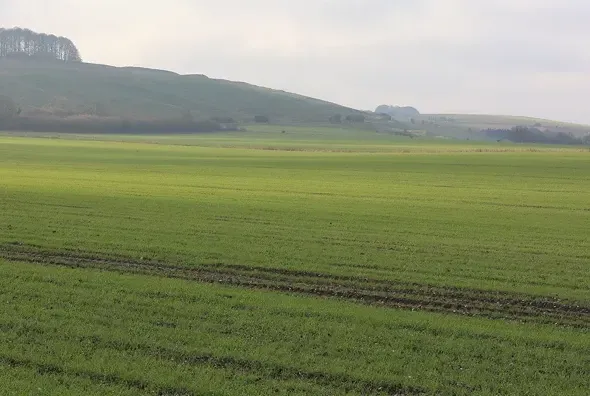
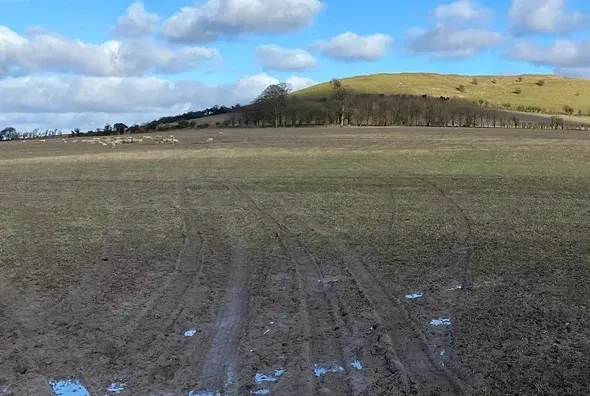
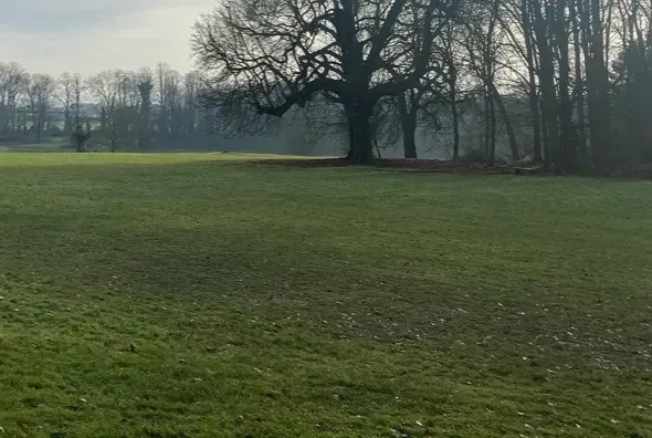
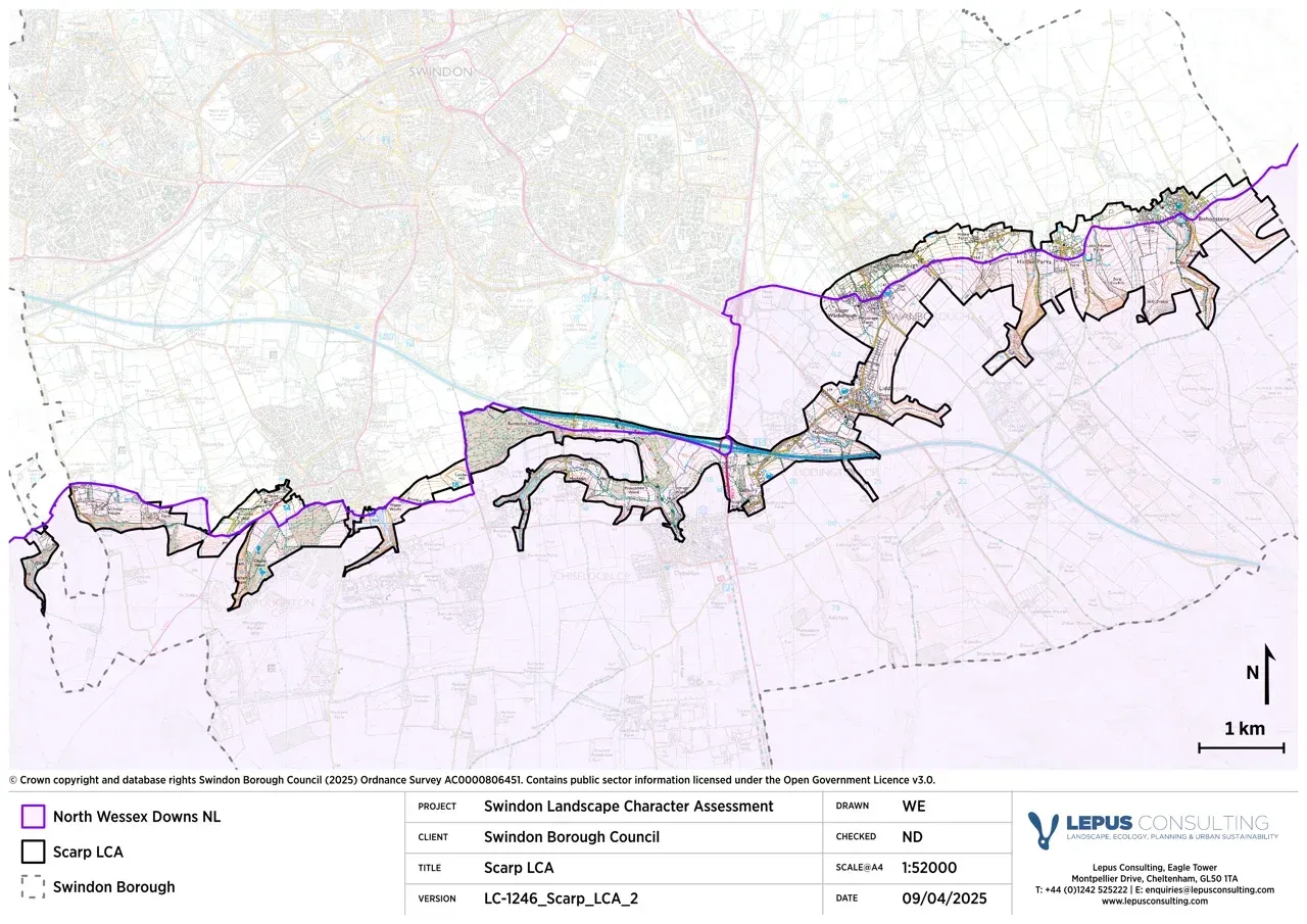
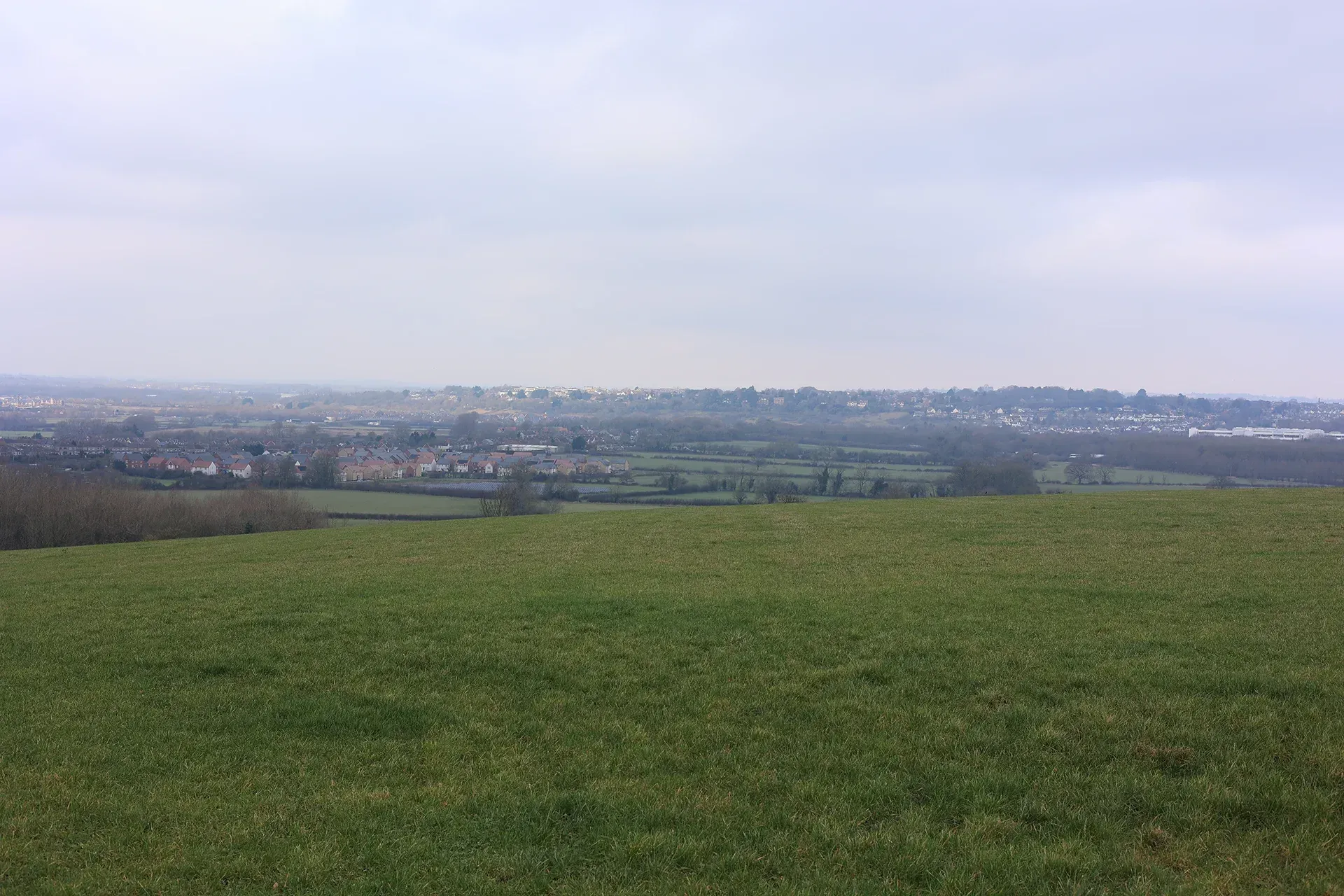
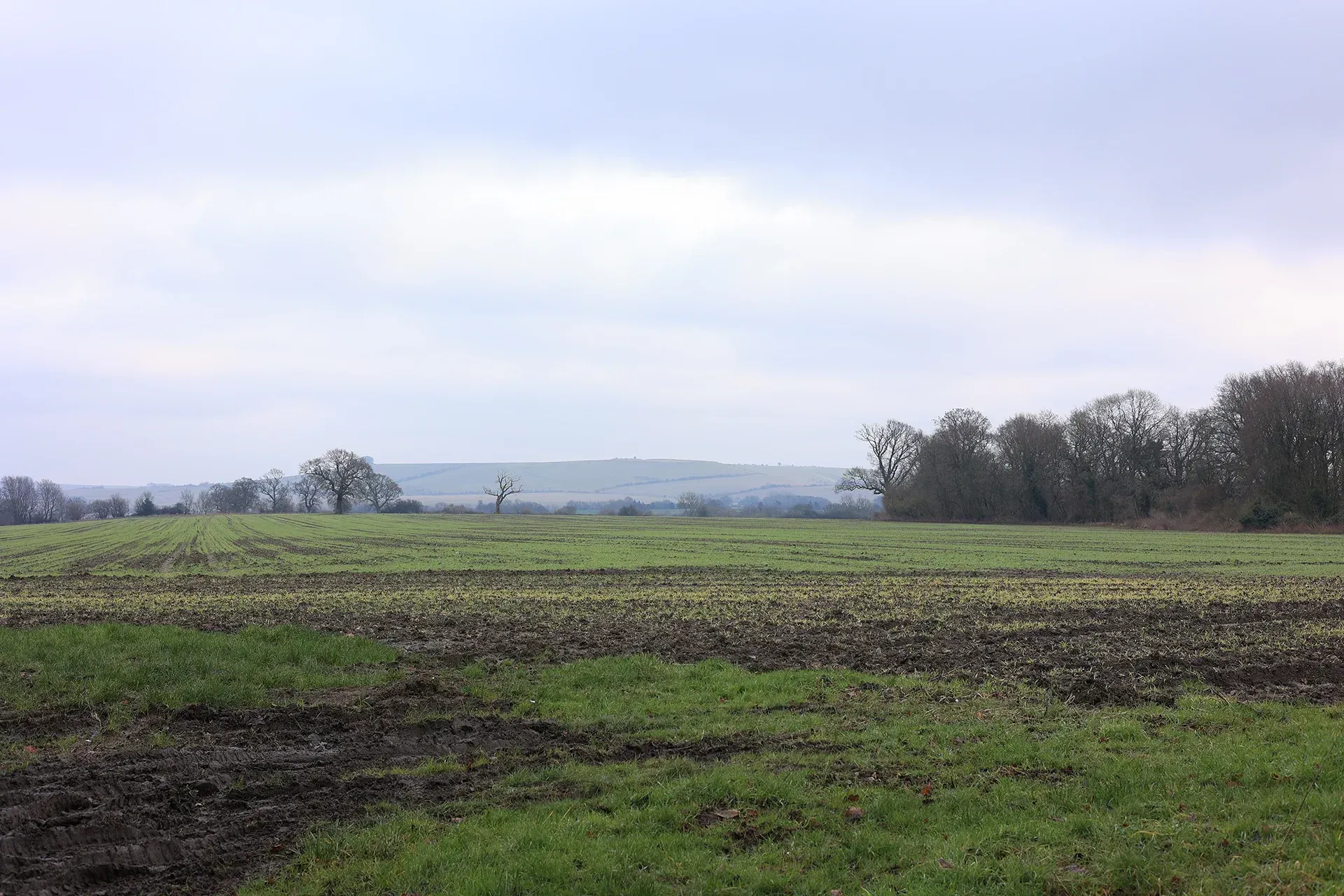
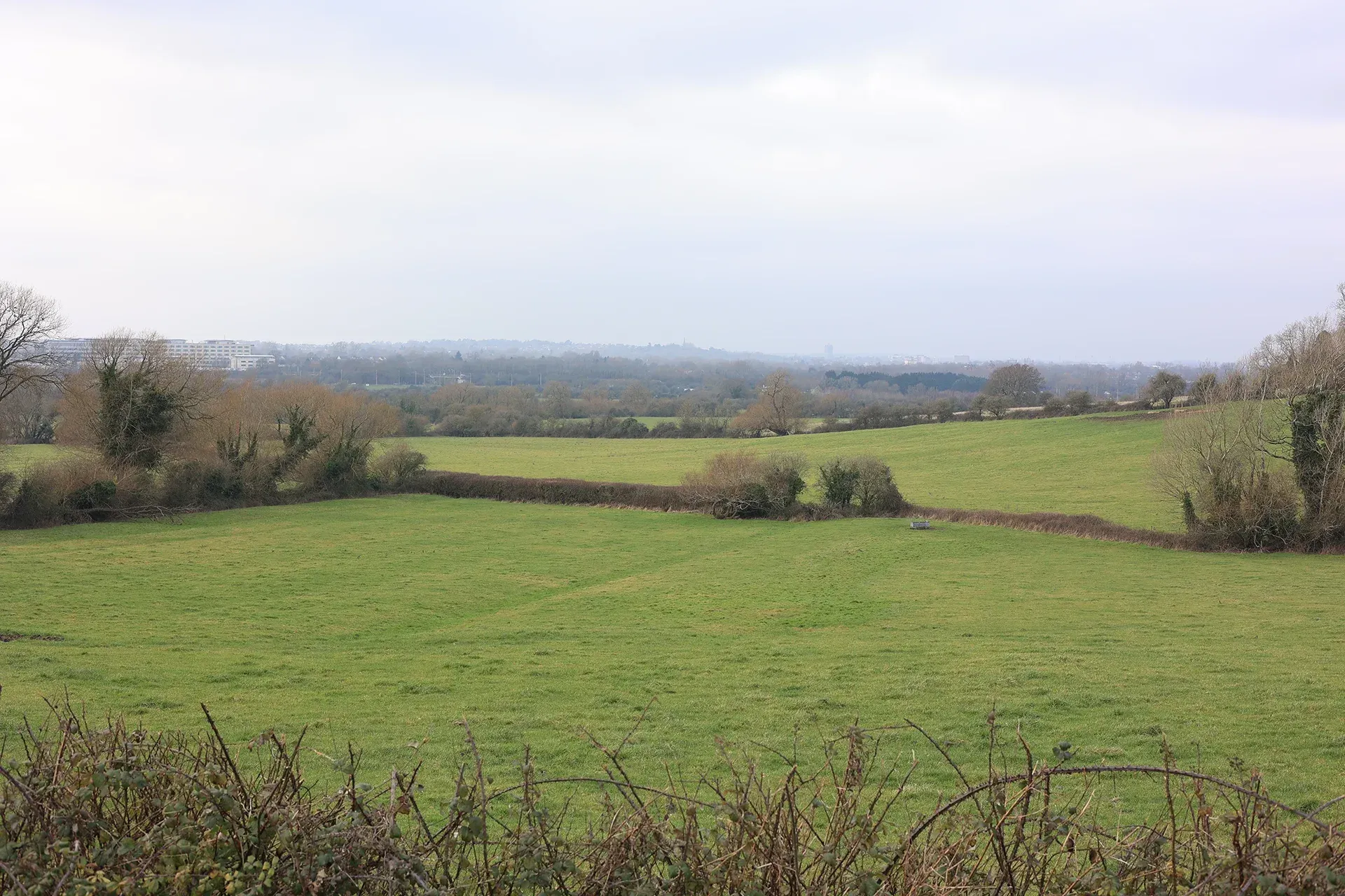
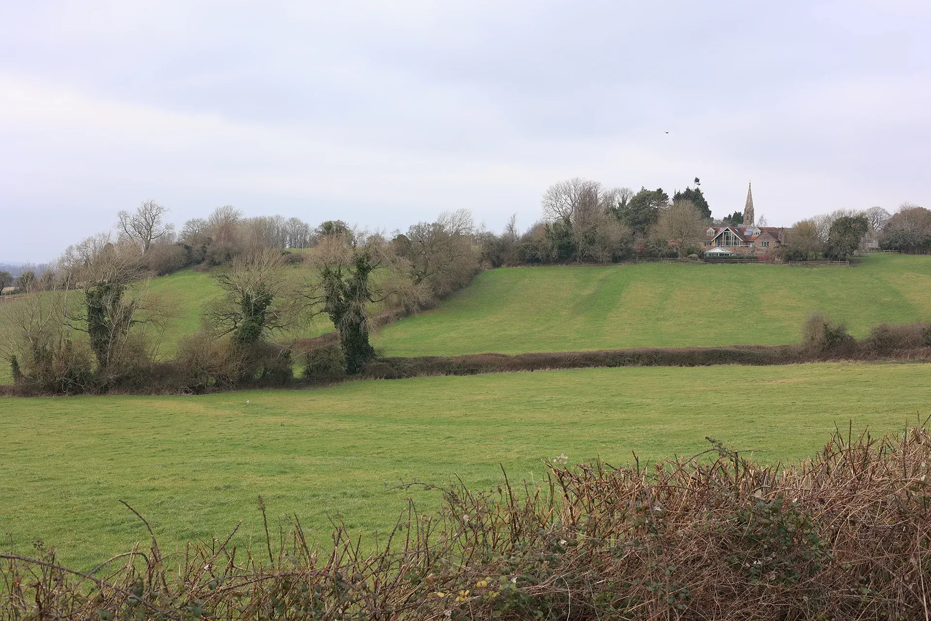
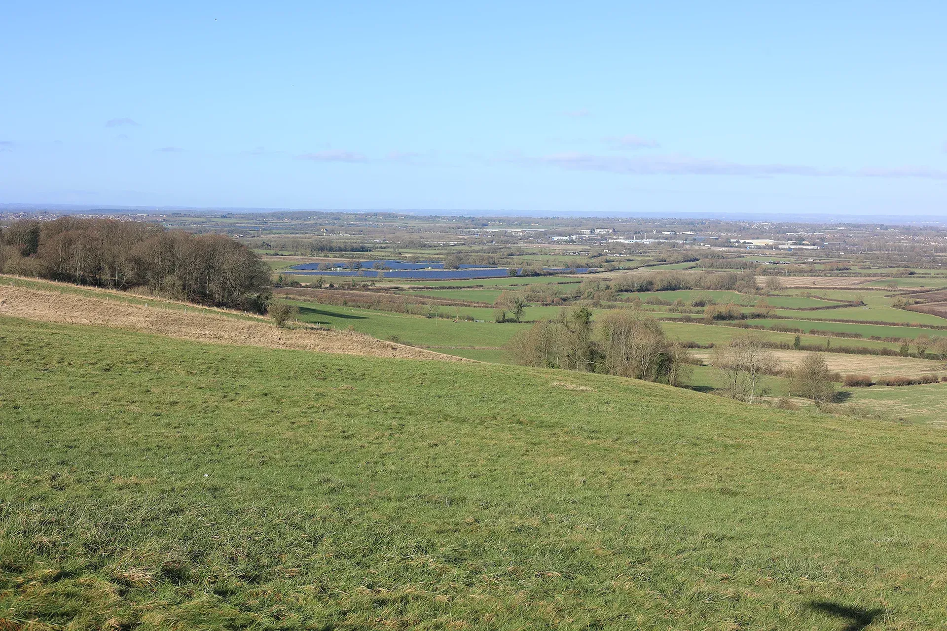
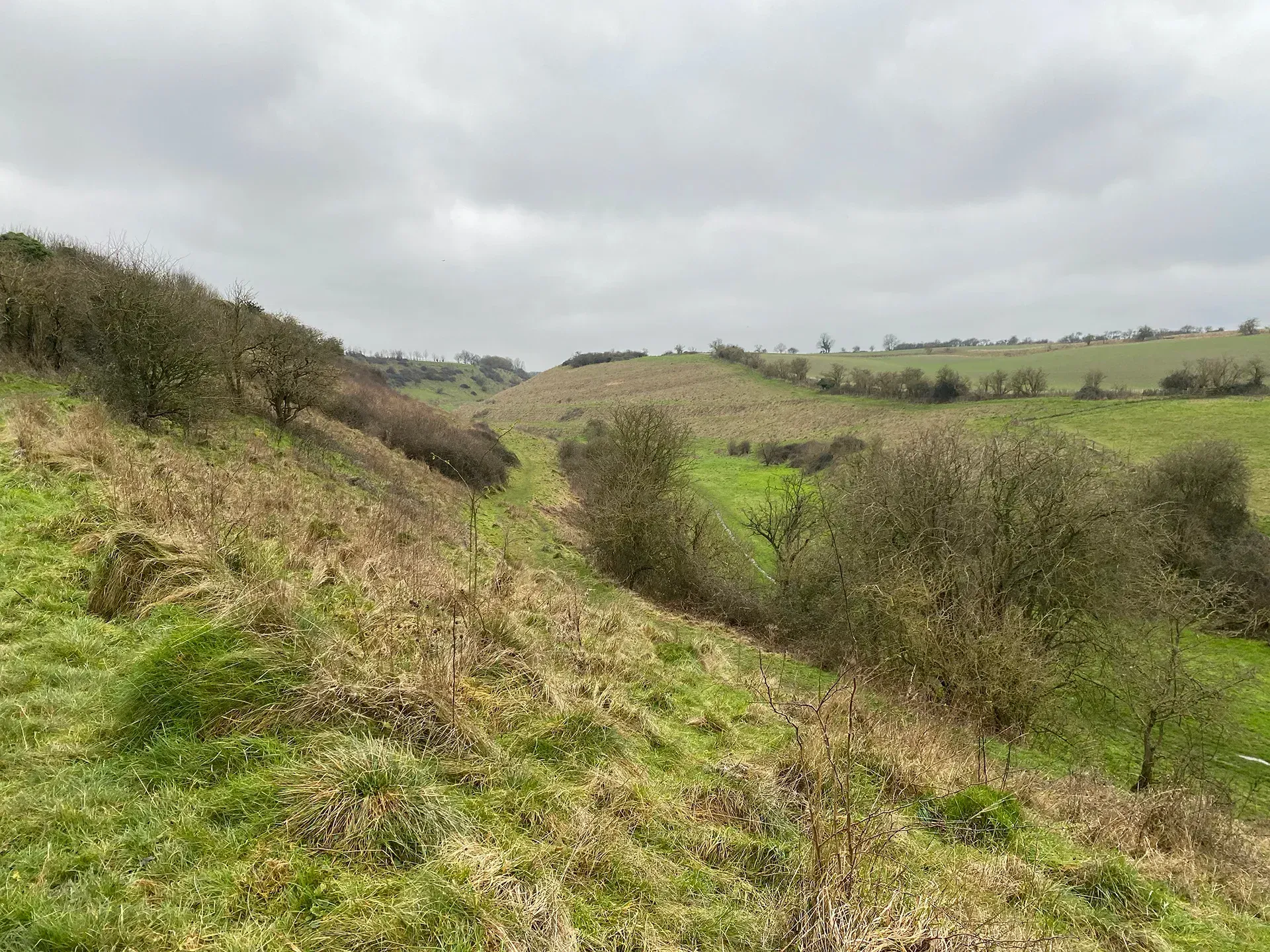
The Scarp slope marks a dramatic step down into the clay vales. The steepness of the slope, accompanied by a generous quantity of planting, forms a highly visible backdrop to the Vale of White Horse and Wroughton Vales. Existing settlements along the spring line are traditional small villages that are well integrated into their surrounding landscape. Public vantage points offer far reaching views over the clay cakes towards the Cotswolds. The Scarp LCA lies partially within the North Wessex Downs National Landscape.
Gallery
Key characteristics
Key characteristics of the Scarp LCA are presented in below.
| Natural factors | |
|---|---|
| Geology | Lower Chalk and Gault Clay. |
| Landform | A steep north-west facing hillside overlooking the Clay Vales (115m to 170m AOD) dissected at intervals by very steep sided coombes at Liddington. The steep scarp forms a dramatic landform feature. |
| Hydrology | Numerous chalk springs along the lower part of the scarp slope flowing northwards. An area of flood zone 3 is present and associated with a watercourse flowing between Hodson and Coate Water. |
| Soils | Soils are loamy and clayey. ALC mostly grade 3 with areas of grade 2 and 4. An area of ALC grade 1 is present near Burderop Wood. |
| Land cover, flora & fauna | Substantial woodland covers the scarp, particularly to the west of Chiseldon at Burderop Wood. Surviving areas of chalk grassland are present, including at The Coombs, Hinton Parva. |
| Cultural & social factors | |
|---|---|
| Land use | Mostly agricultural with arable farmland and pasture. |
| Settlement | Springline settlements at Bishopstone alongside large country houses and parkland such as Burderop House. Small, twisted, sunken roads connect the villages. The M4 motorway forms the northern boundary at Burderop. |
| Enclosure | Fields of varying sizes are enclosed with blocks of woodland, and hedgerows with trees. |
| Time depth | Farms follow a similar pattern from the Iron Age. Parish boundaries form narrow bands running north-south, connecting the Clay Vales and Downs Plains. |
| Cultural associations | |
|---|---|
| Art, literature, descriptive writings, music, myth/legend/folklore, people, events and associations | Folklore from local villagers said that the Coombs at Hinton Parva were haunted by witches and goblins. Burderop Wood has also been depicted in the art of Kate Tryon. |
| Perceptual & aesthetic factors | |
|---|---|
| Memories and associations | Obtained via stakeholder engagement. |
| Perceptions | The sense of remoteness and tranquillity levels are generally higher to the east, away from the M4 motorway and the urban areas of Swindon and Wroughton. |
| Sounds | Noise from vehicular traffic on the M4 motorway is an aural detractor. |
| Sight | Sweeping views northwards towards Swindon, Vale of White Horse, Midvale Ridge and the Cotswolds. Church towers often form part of the skyline in views. |
Designations and policy
Key designations within the Scarp LCA:


- Natural England (1987) Bincknoll Dip Woods SSSI Citation. Available at: https://designatedsites.naturalengland.org.uk/PDFsForWeb/Citation/1002219.pdf [Accessed: 03/01/25]
- Natural England (1987) Bincknoll Dip Woods SSSI Citation. Available at: https://designatedsites.naturalengland.org.uk/PDFsForWeb/Citation/1002219.pdf [Accessed: 03/01/25]
- Natural England (1986) Clout’s Wood SSSI Citation. Available at: https://designatedsites.naturalengland.org.uk/PDFsForWeb/Citation/1003234.pdf [Accessed: 03/01/25]
- Natural England (1989) The Coombes, Hinton Parva. Available at: https://designatedsites.naturalengland.org.uk/PDFsForWeb/Citation/1005603.pdf [Accessed: 03/01/25]
Forces for change
Threats, pressures and current changes to Scarp LCA are outlined below.


Landscape guidelines
Landscape guidelines to plan, manage and protect distinctiveness of the Scarp LCA include:


Landscape Character Areas (LCAs)
Eight Landscape Character Areas (LCAs) have been identified within the Swindon Borough. This website provides a detailed overview of each LCA including a description, key characteristics, designations and policy, forces for change and landscape guidelines to plan, manage and protect distinctiveness.