Wroughton Vale LCA
Description
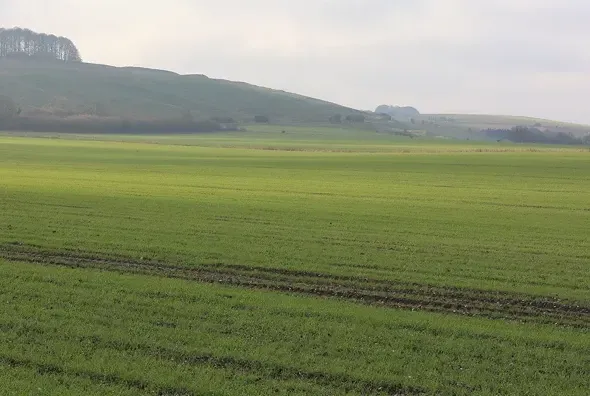
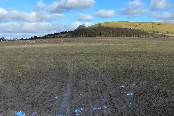
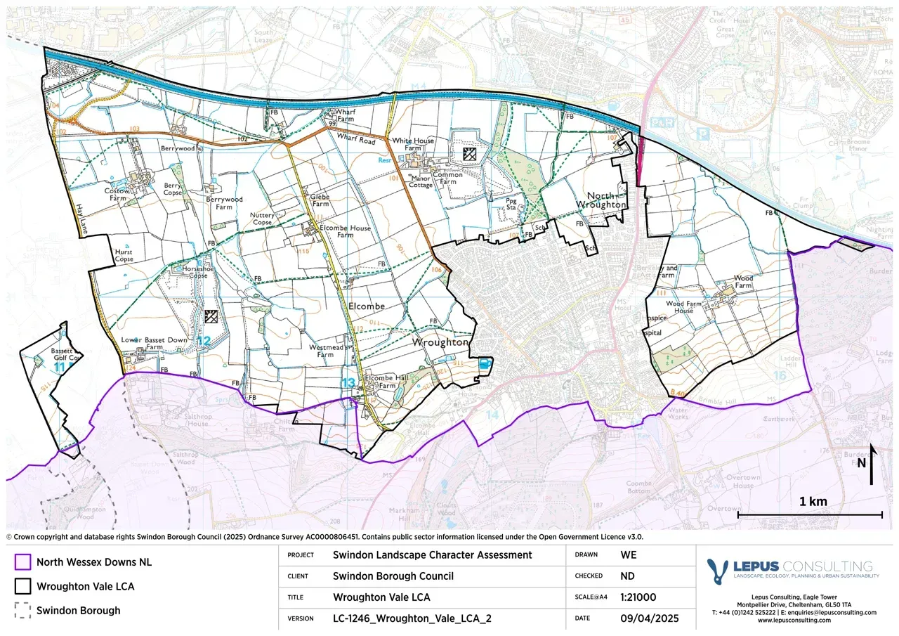
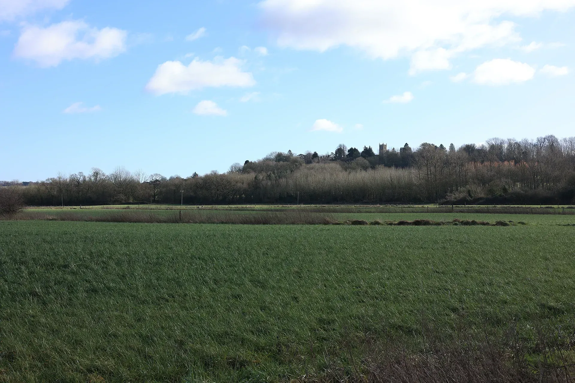
Wroughton Vale is bounded by Burderop Wood to the east, the M4 to the north and the scarp slope to the south. Outside the village of Wroughton, the landscape is predominantly agricultural with scattered farms and settlements. Farms tend to cluster around smaller field patterns, indicative of traditional dairy farming. The northern part of Wroughton Vale is influenced by its proximity to Swindon, which creates a contrast to the otherwise rural setting.
Gallery
Key characteristics
Key characteristics of the Wroughton Vale LCA are presented in below.
| Natural factors | |
|---|---|
| Geology | The area is underlain with Kimmeridge Clay. |
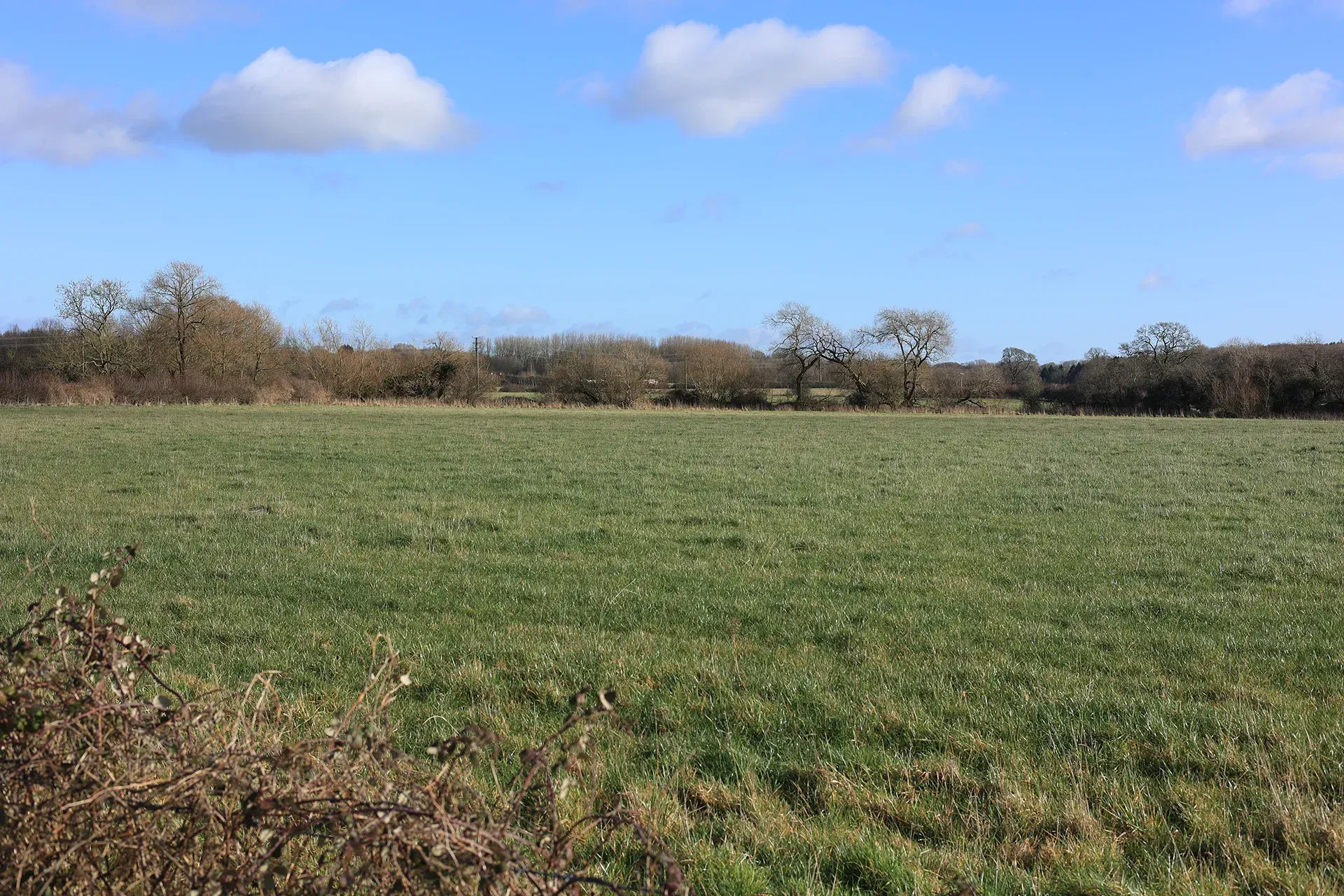
| Landform | Low lying, generally level vale enclosed by scarp slope to south. |
| Hydrology | Several chalk streams flow northwards across the valley, forming tributaries of the River Ray. There are numerous ponds across the area. Areas of flood zone 3 are present and associated with watercourses in northern parts of the area, adjacent to the M4 motorway. |
| Soils | Soils are loamy and clayey. Mostly ALC grade 3 with smaller areas of grade 4. |
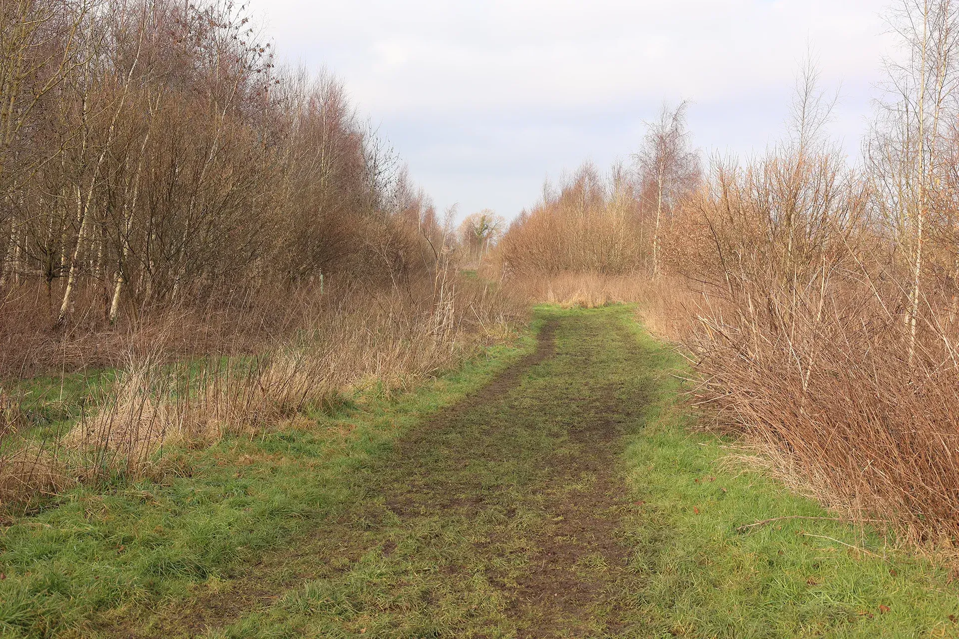
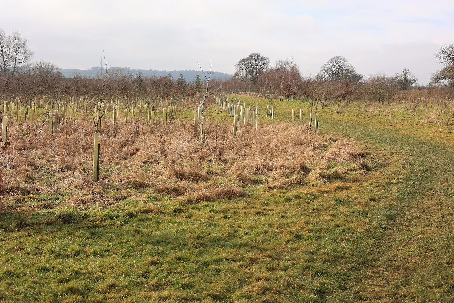
| Land cover, flora & fauna | Hedgerows with trees comprise the main green infrastructure asset. There are several small woodlands present across the area including Berry Copse. |
| Cultural & social factors | |
|---|---|
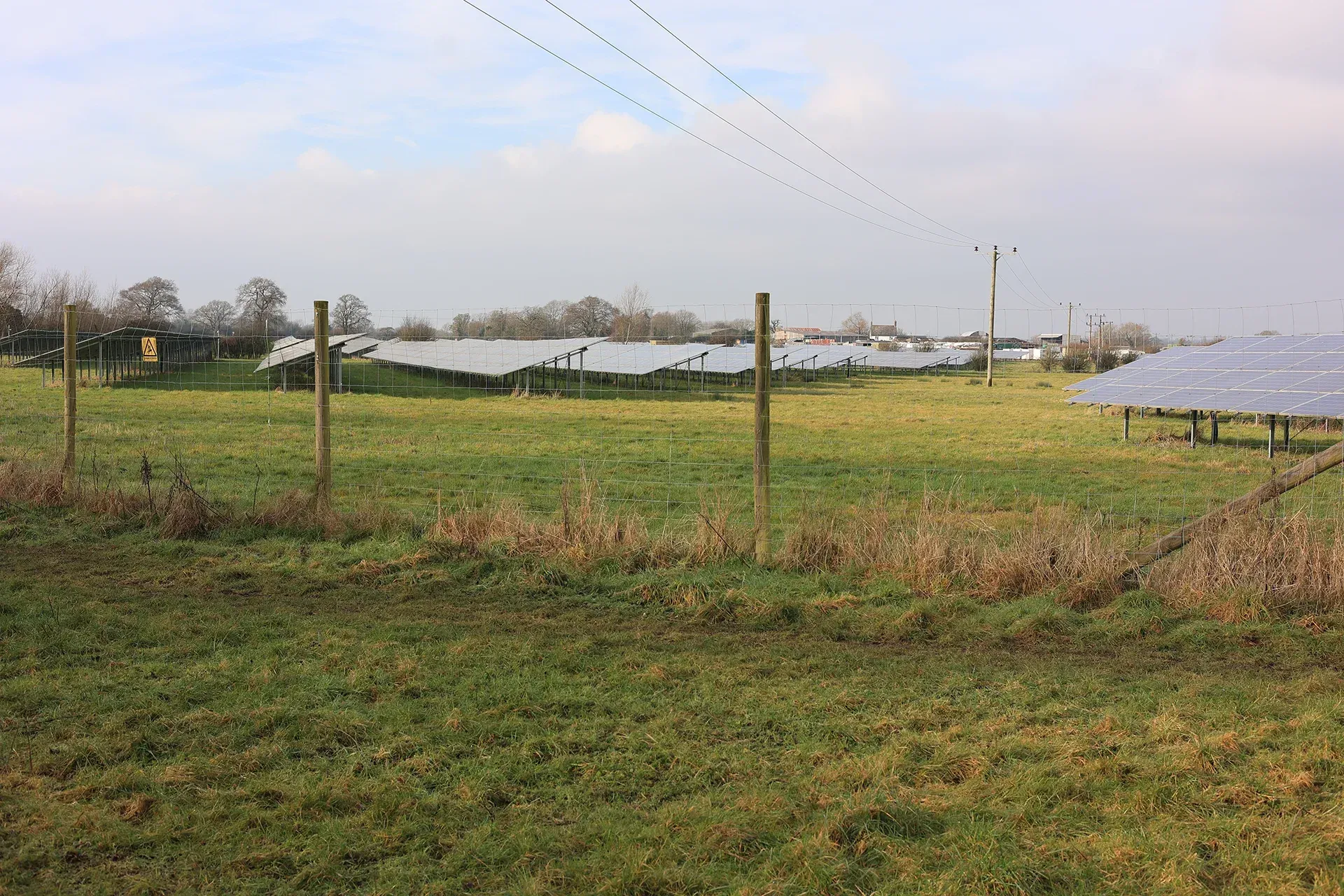
| Land use | Land use across the area comprises arable farmland and improved pasture. Large land-based solar farms are present to the north of Wroughton and in the west of the area. |
| Settlement | Houses and farms are scattered across the area. The village of Wroughton dominates the eastern end of the vale. |
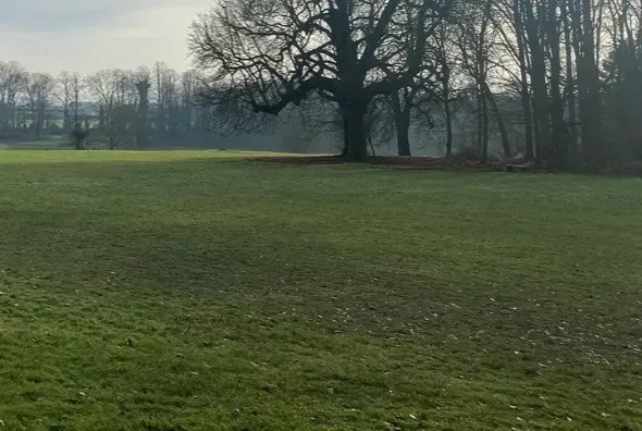
| Enclosure | Field sizes vary and are enclosed by hedgerows with occasional Oak trees and post and wire fencing. |
| Time depth | Areas of ridge and furrow are evident. Disused airfields and military sites are located within the LCA. |
| Cultural associations | |
|---|---|
| Art, literature, descriptive writings, music, myth/legend/folklore, people, events and associations | The diary of Jockey Tom Olliver provides accounts of horses being exercised in the Wroughton Vale area. The Science Museum at Wroughton Airfield was painted by artist Robert Soden. |
| Perceptual & aesthetic factors | |
|---|---|
| Memories and associations | Obtained via stakeholder engagement. |
| Perceptions | There is a limited sense of remoteness due to close proximity to Swindon, Wroughton and the M4 motorway. |
| Sounds | Vehicular traffic on the M4 motorway is an aural detractor in northern parts. |
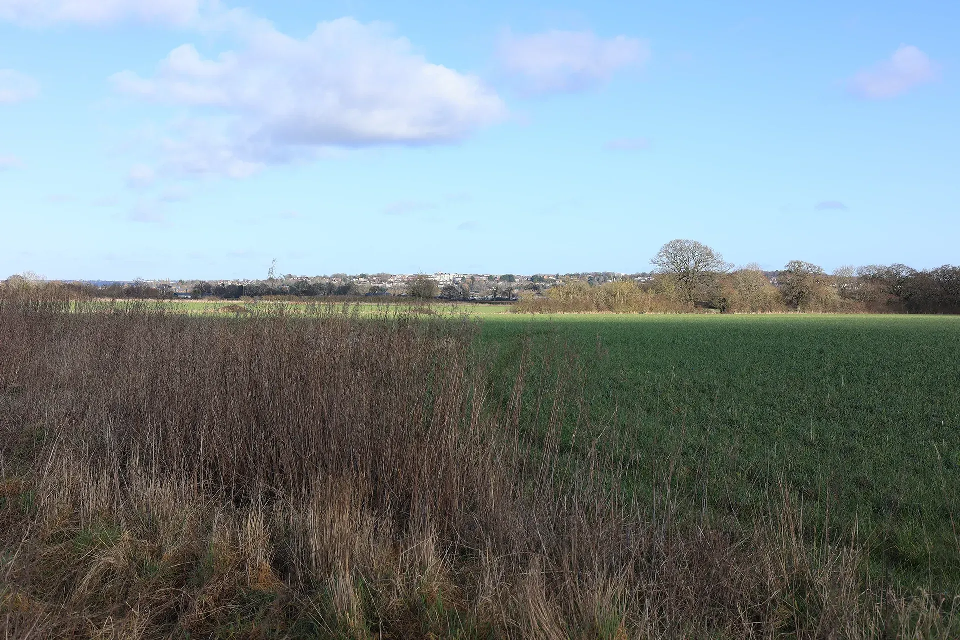
| Sight | The relatively open landscape allows for moderate distant views in an east-west direction across Wroughton Vale. Wide ranging views south towards the Scarp slope are possible. |
Designations and policy
Key designations within Wroughton Vale LCA:


Forces for change
Threats, pressures and current changes to Wroughton Vale LCA are outlined in below.


Landscape guidelines
Landscape guidelines to plan, manage and protect distinctiveness of the Wroughton Vale LCA include:


Landscape Character Areas (LCAs)
Eight Landscape Character Areas (LCAs) have been identified within the Swindon Borough. This website provides a detailed overview of each LCA including a description, key characteristics, designations and policy, forces for change and landscape guidelines to plan, manage and protect distinctiveness.